


Walking among the hills of Tuscany's capital city
The Renaissance Ring is a fascinating trekking route of no less than 250 kilometers divided into 8 sections and 10 variants with differentiated distances (from a minimum of 5 to a maximum of 25 kilometers) surrounding the Tuscan capital.
This route, which allows you to discover Florence’s surroundings, traditionally begins and ends at the Calenzano Castle; however, since it is a loop, it is freely walkable. The original objectively circular route was expanded with new additions that made it more varied.
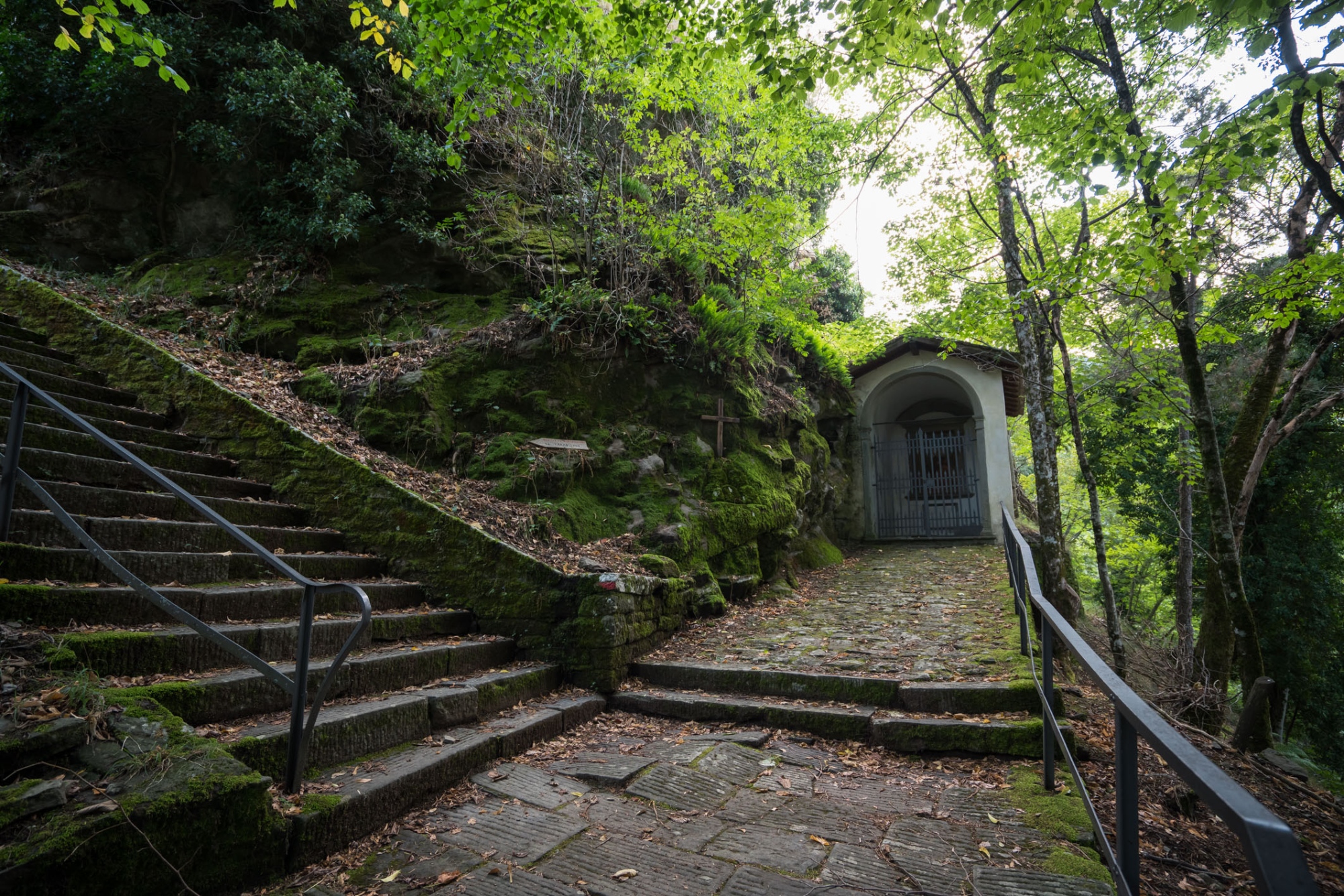
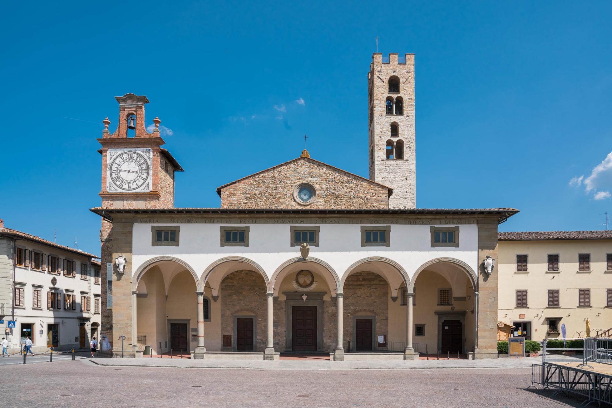
There are a great many points of interest along the way, including historical centers, castles, parish churches and different landscapes, from riverbanks to mountains. The route has a medium difficulty level and crosses dirt and paved roads.
Start and finish are at the Calenzano Castle, and the first segment of the Ring (clockwise path) is immediately challenging: almost 20 kilometers before you arrive at Vaglia, highly rewarding from a landscape point of view. To one side, you can see Florence; to another, you can look up to the Mugello and the Apennine mountains.
Start and finish are at the Calenzano Castle, and the first segment of the Ring (clockwise path) is immediately challenging: almost 20 kilometers before you arrive at Vaglia, highly rewarding from a landscape point of view. To one side, you can see Florence; to another, you can look up to the Mugello and the Apennine mountains.
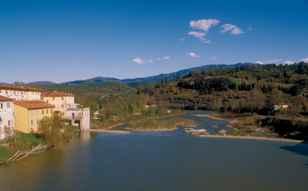
From Vaglia, you reach Fiesole along the ridges, which affords wide, sweeping views over Fiesole and Florence. Continue to L’Alberaccio before heading onwards to Pontassieve, through a section of the circuit that is mainly interesting for its natural features. The road to Pontassieve and Val di Sieve is almost entirely downhill, and swaddled in a beautiful landscape. Charming farmsteads poke out among the vineyards.
- Variant 2A: Bivigliano – Monte Senario
distance 1.3 km; difference in altitude: 170 m - Variant 2B: Alberaccio – Fiesole
distance: 10.7 km; difference in altitude: 375 m
In this eastern section of the journey, we find the first variants. From Casabella you reach Rufina, here taking the CAI route you arrive at Londa, the gateway to the Casentino Forests Park. The terrain here is mountainous. Pontassieve serves as a starting point for other variants: you can head towards Pelago, and then take a demanding trek to Reggello along the slopes of Pratomagno to reach Reggello. Thus, we move from a hilly context to a decidedly more foothill one.
- Variant 3A: Londa – Rufina
distance 13.2 km; difference in altitude 800 m - Variant 3B: Rufina – Casabella
distance: 5.8 km; difference in altitude: 300 m - Variant 3C: Reggello – Pelago
distance: 24.7 km; difference in altitude: 1200 - Variant 3D: Pelago – Pontassieve
distance: 8.3 km; difference in altitude: 270 m
The road to Montecucco unfolds along old, panoramic pathways, with views over the basin of the Arno valley. As with other sections, this walk is fascinating for its ecology as much as for its historical and artistic interest.
Once you’ve climbed to Montecucco, you have a choice. You can turn right towards Bagno a Ripoli, arriving at the striking Spedale del Bigallo, or left towards Rignano sull’Arno.
Instead, if you decide to continue, a new variant has opened in recent times, leading to San Donato in Collina. You come down the ridge to reach the composite municipality of Figline Incisa Valdarno. This variant, which is quite taxing, takes you through Poggio di Firenze, Montelepri and Poggio Tondo.
- Variant 4B: Figline-Incisa – SanDonato in Collina
distance: 25.5 km; difference in altitude: 1300 m - Variant 4A: Rignano sull’Arno – Montecucco – Bagno a Ripoli
distance 15.8 km; difference in altitude: 560 m
Linking up again with the first variation, you head towards the Ring’s most southern stretch. This takes you to Impruneta, through olive groves and vineyards, which open up to the sumptuous landscapes of the Chianti.
Linking up again with the first variation, you head towards the Ring’s most southern stretch. This takes you to Impruneta, through olive groves and vineyards, which open up to the sumptuous landscapes of the Chianti.
The walk from Impruneta to La Certosa is nice and easy, all downhill. You cannot put a price on the views that open up to you, whether of the city or the monumental complex of the Certosa monastery.
You can get to Florence from here, in particular to Piazzale Michelangelo, the famous “balcony” over the city and the its river.
If you opt to remain in the hills, however, you can walk through yet more breathtaking landscapes, dotted with villas and old farmhouses, as you come to the western edge of the loop.
The path dives among the trees, pinewoods typical of the Florentine hills around the Chianti area. You pass through Pian dei Cerri, the hilliest part of the Scandicci municipality, and come to Lastra a Signa via a road that winds among the woods of Roveta. The trees alternate with olive groves, which opens up a view over the river Arno.
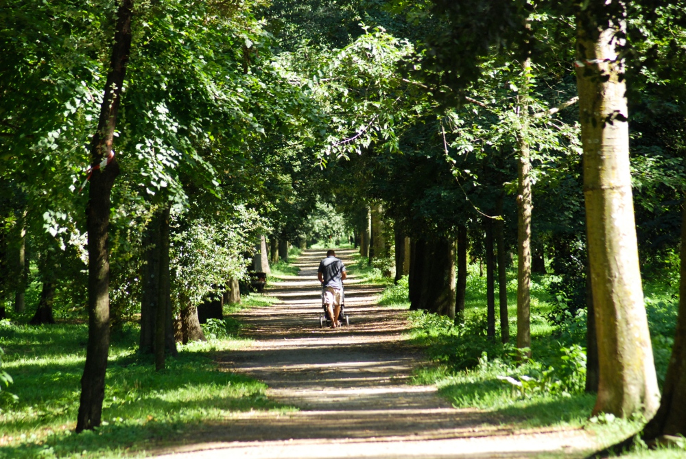
Crossing the Arno, you find yourself in Signa, where a new variant is available. This level road follows the course of the Arno, and indeed makes up part of the Arno cycle route. It leads you from the Renai Park to another park, the Cascine Park, in the center of Florence.
- Variant 7A: La Certosa – Firenze
distance: 7.5 km; difference in altitude: 200 m
If you opt to remain in the hills, however, you can walk through yet more breathtaking landscapes, dotted with villas and old farmhouses, as you come to the western edge of the loop.
The path dives among the trees, pinewoods typical of the Florentine hills around the Chianti area. You pass through Pian dei Cerri, the hilliest part of the Scandicci municipality, and come to Lastra a Signa via a road that winds among the woods of Roveta. The trees alternate with olive groves, which opens up a view over the river Arno.
Crossing the Arno, you find yourself in Signa, where a new variant is available. This level road follows the course of the Arno, and indeed makes up part of the Arno cycle route. It leads you from the Renai Park to another park, the Cascine Park, in the center of Florence.
- Variant 7A: La Certosa – Firenze
distance: 7.5 km; difference in altitude: 200 m
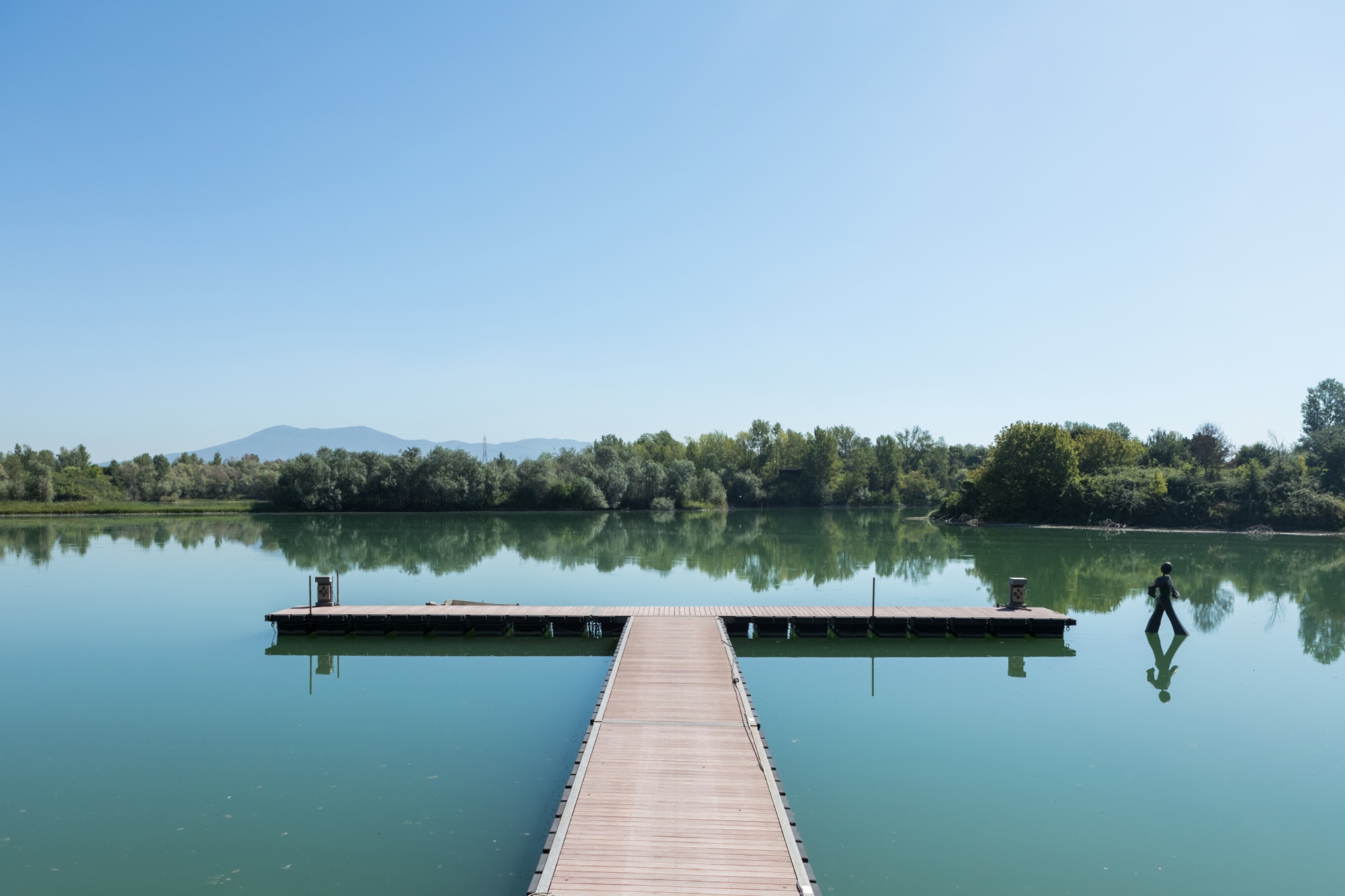
One more section remains before we close the loop and end up back where we started. Along the Renai Park, with its mirrors of water, and make for Campi Bisenzio. This stretch of the route, which goes through the so-called Florentine plain, has been laboriously drained over the years: now widely settled, it still holds a number of surprises.
Traces of the past can still be seen all the way to Campi Bisenzio, and give the area a unique quality that can only really be understood from the banks of the river Bisenzio. The final leg of this long hike takes you to Calenzano through some heavily industrialised areas, with motorways and B-roads with a lot of traffic.
- Variant 8A: Signa – Firenze
distance 12.1 km; difference in altitude 50 m
To download the tracks of the individual stages, please visit the dedicated page on feelflorence.it.