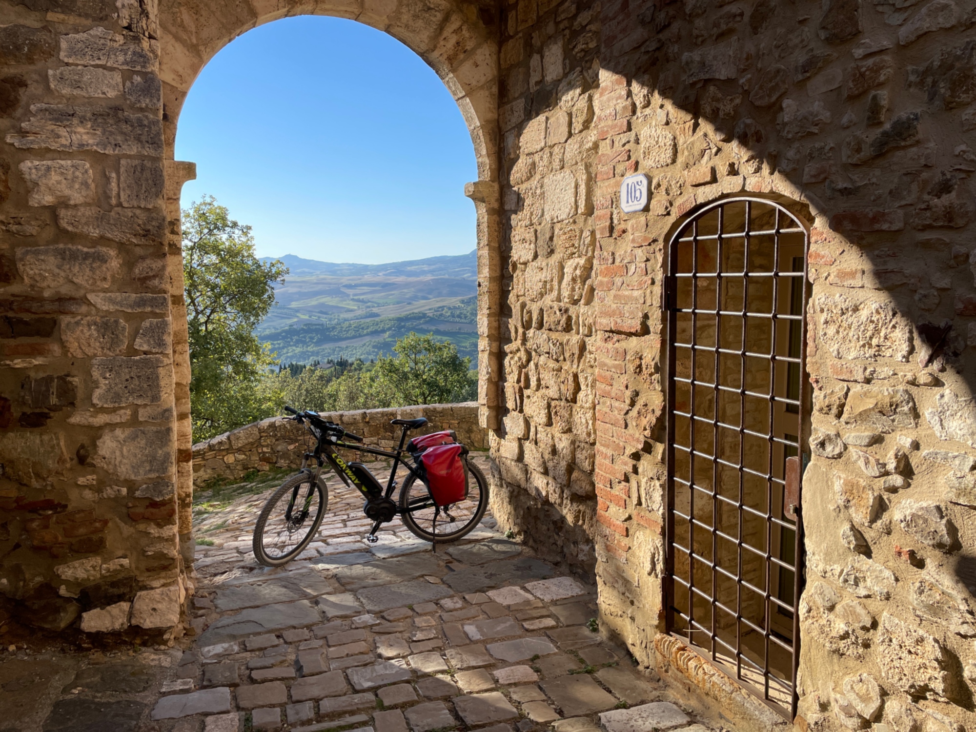
The Tuscan Via Francigena by bicycle


The Via Francigena, that is the “road that comes from France”, is a very ancient route that originated probably in the 6th century out of necessity for the Lombard peoples, then used after the descent of Charlemagne as a link to the Kingdom of the Franks, when it began to be called, precisely, the Via Francigena. It might have remained a “theoretical” route, the subject of hypotheses by historians, if in 990 (and until 994), the Archbishop of Canterbury Sigeric had not tackled the return route, from Rome to England, keeping a documented diary that has come down to the present day; a diary in which he described, in detail, the 79 stages of his itinerary and all the places where he stopped.
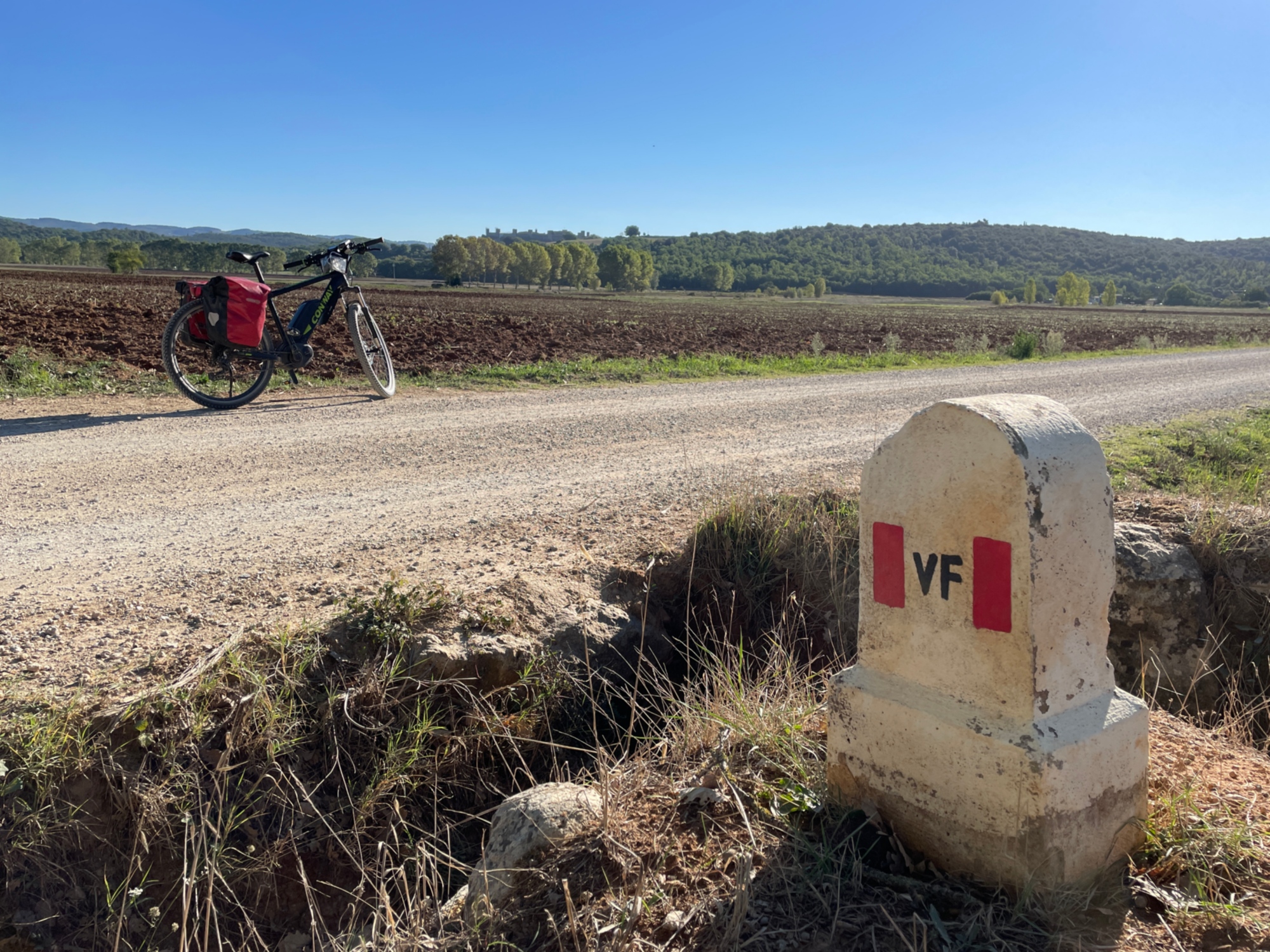
There are more than three thousand kilometers between Canterbury and Rome and on to Santa Maria di Leuca, touching 5 states and 16 regions. Country roads, dirt roads among cypress trees, and traffic-free minor roads: the route is free of high technical difficulties (the two most complex sections can be avoided) and within the reach of everyone, particularly if equipped with e-bikes.
In the Tuscan section, there are nine stages for cyclists, and more precisely they range from no. 11, the Berceto-Aulla, where the Francigena enters Tuscany from the Cisa Pass, to no. 19, from Radicofani to Bolsena, when, having crossed the Paglia River, it enters Latium territory in order to reach Acquapendente and Bolsena.
The itinerary is by Alberto Conte
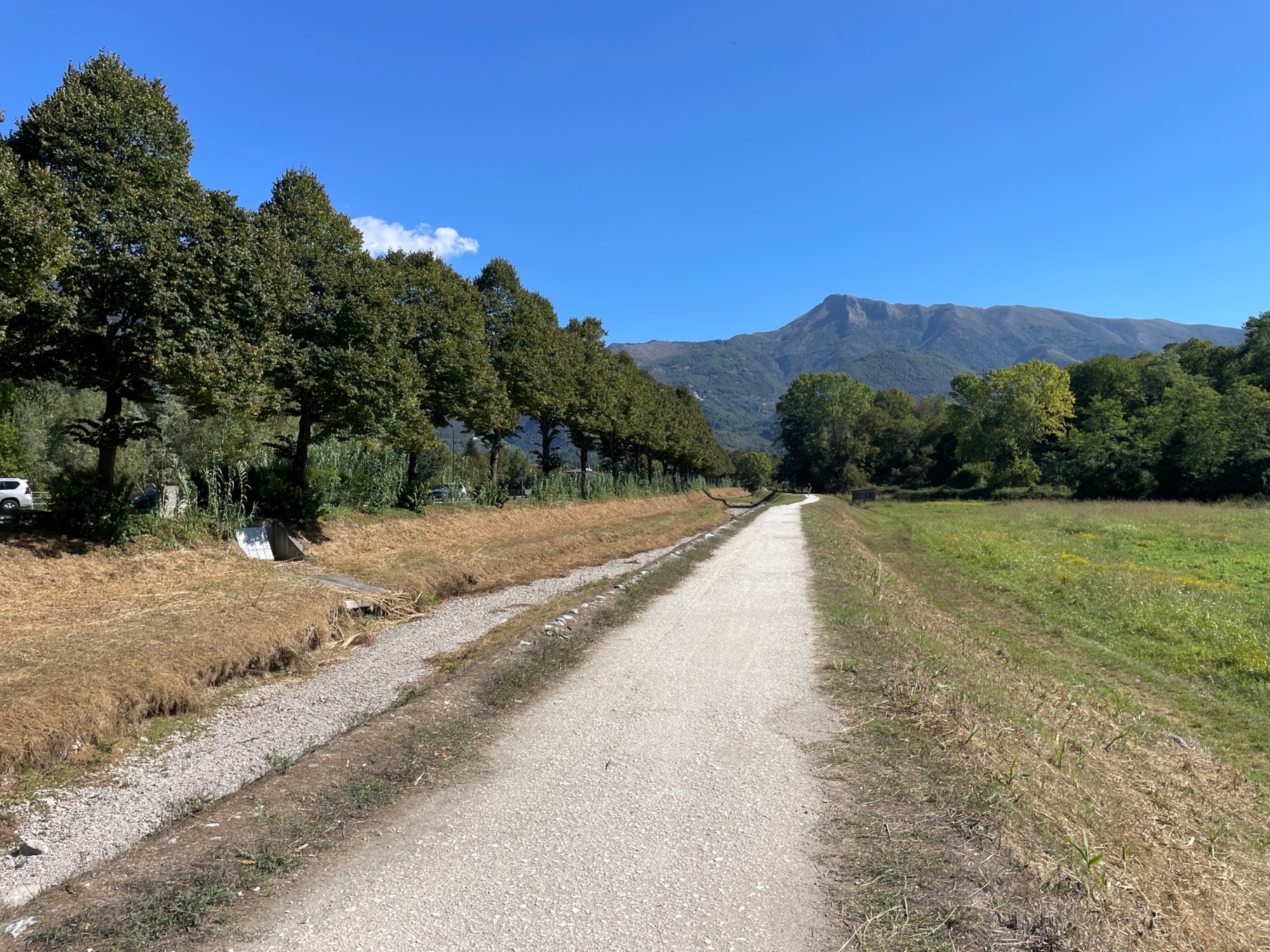
We start from the Cathedral of San Moderanno, in Berceto, to head toward the Cisa Pass. Once we enter Tuscany, we leave the main road to take a narrow road that descends steeply into the Magra valley. We pass through the charming historical center of Pontremoli and move to the right of the river, heading toward Villafranca in Lunigiana. We then begin to climb in the direction of the characteristic village of Lusuolo, and then proceed to Terrarossa. Here begins the beautiful bicycle path built on the route of the decommissioned railway, which leads us to Aulla, where we end the stage in front of the ancient Abbey of San Caprasio.
We start from the Cathedral of San Moderanno, in Berceto, to head toward the Cisa Pass. Once we enter Tuscany, we leave the main road to take a narrow road that descends steeply into the Magra valley. We pass through the charming historical center of Pontremoli and move to the right of the river, heading toward Villafranca in Lunigiana. We then begin to climb in the direction of the characteristic village of Lusuolo, and then proceed to Terrarossa. Here begins the beautiful bicycle path built on the route of the decommissioned railway, which leads us to Aulla, where we end the stage in front of the ancient Abbey of San Caprasio.
- straighten
Length54.1 Km
-
Physical engagementMedium
-
Technical difficultyMedium
- trending_down
Descent1092 m
- trending_up
Ascent342 m
- vertical_align_top
Maximum altitude1041 m
We start our route from Aulla on the SS63 of Cerreto. On this stretch, we pay attention to traffic, which may be quite heavy until we reach the bridge over the Aulella stream. After crossing the bridge, we leave the state highway and take the SP57. One more short stretch on the valley floor and we face the most challenging climb of the entire Francigena cycle route, which takes us with six steep kilometers to Ponzanello. From here, we reach the ridge from which we can see the sea for the first time. We continue towards the ancient village of Fosdinovo, which is worth visiting, by taking a detour. Next, we quickly descend to Caniparola, cross the border with Liguria and take the bike path of Lunense canal. We ride this road for a few kilometers and return to Tuscany to reach Avenza. We then face the last climb of the day along the Via dell'Uva, a beautiful scenic road that will take us to Massa.
We start our route from Aulla on the SS63 of Cerreto. On this stretch, we pay attention to traffic, which may be quite heavy until we reach the bridge over the Aulella stream. After crossing the bridge, we leave the state highway and take the SP57. One more short stretch on the valley floor and we face the most challenging climb of the entire Francigena cycle route, which takes us with six steep kilometers to Ponzanello. From here, we reach the ridge from which we can see the sea for the first time. We continue towards the ancient village of Fosdinovo, which is worth visiting, by taking a detour. Next, we quickly descend to Caniparola, cross the border with Liguria and take the bike path of Lunense canal. We ride this road for a few kilometers and return to Tuscany to reach Avenza. We then face the last climb of the day along the Via dell'Uva, a beautiful scenic road that will take us to Massa.
- straighten
Length48.2 Km
-
Physical engagementChallenging
-
Technical difficultyMedium
- trending_down
Descent752 m
- trending_up
Ascent759 m
- vertical_align_top
Maximum altitude602
Leaving the old part of Massa, we head toward Montignoso and begin the ascent to Aghinolfi Castle. After descending to Ripa, we reach Pietrasanta, whose historic center is certainly worth the detour for a visit. The itinerary continues to Camaiore, we cross the center to face the challenge of Monte Magno, where there is a monument to Giorgio Gaber, the well-known singer-songwriter who had chosen to live in this area.
We continue along the Freddana valley to Valpromaro, a characteristic “road village” that developed along the Via Francigena. From here, we climb toward Piazzano and cross the ridge that separates us from the plain of Lucca. At Ponte San Pietro, we have to be careful because the beginning of the Serchio bike path is not very clear. We follow the right bank of the river to the large suspension bridge, crossing the river to enter the historic heart of Lucca.
N.B.: in Lucca, the historic center is a limited traffic zone and bicycles outnumber cars; however, the route shown in the track may run a few sections against the flow, in which case be cautious and possibly continue bike by hand.
- straighten
Length54 Km
-
Physical engagementMedium
-
Technical difficultyMedium
- trending_down
Descent650 m
- trending_up
Ascent602 m
- vertical_align_top
Maximum altitude230 m
We leave the historic center of Lucca following a long bike path that takes us to the gates of Capannori. We then continue in the direction of Porcari and from there we reach Badia Pozzeveri, whose rectory has been converted into a charming hostel for pilgrims.
We proceed to Altopascio, a city historically linked to the Via Francigena. After passing through the historic center, we face a fascinating stretch through the woods, giving us the thrill of walking along an ancient pavement of the Via Francigena, to then finally reaching the area of Galleno. We continue on secondary roads to the Medici bridge of Ponte a Cappiano, then arrive in Fucecchio. Our track skirts the historic center, but we recommend a detour to explore it, although a short climb is required. Crossing the Arno, we reach San Miniato Basso and, after a short climb, arrive at the charming historic center of San Miniato Alto.
- straighten
Length48.4 Km
-
Physical engagementEasy
-
Technical difficultyEasy
- trending_down
Descent74 m
- trending_up
Ascent205 m
- vertical_align_top
Maximum altitude151 m
We start from San Miniato by crossing the scenic reliefs of the Val d’Elsa and finally descend to the valley floor of the river. We continue along the valley for about ten kilometers, passing Castelfiorentino. Shortly after the town, we begin the long ascent that leads us to Gambassi Terme. Before reaching the historic core, we suggest a stop at the Parish church of Santa Maria in Chianni, known as the stage of Sigeric and home to a hostel carved out of the rectory in his honor.
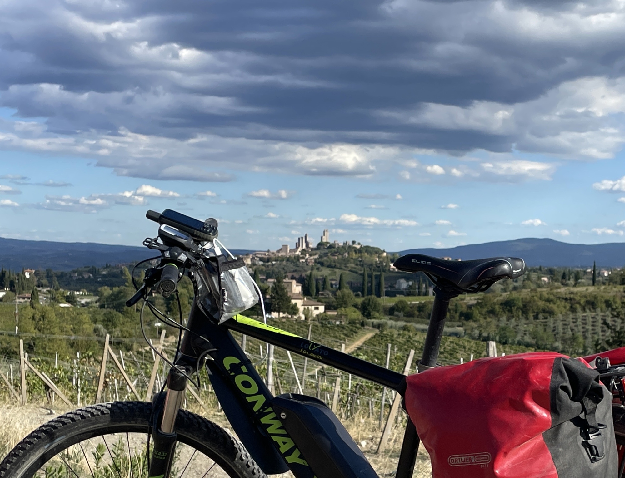
We then continue with the ascent to the ridge and, after a stretch characterized by ups and downs, we set off downhill toward San Gimignano. Along the way, we treat ourselves to a view of the magnificent panorama of the city stretching out to our right. As we approach the town, we ignore the signs that would take us to the left and instead opt for the direct ascent to the historic center, which is absolutely unmissable.
We start from San Miniato by crossing the scenic reliefs of the Val d’Elsa and finally descend to the valley floor of the river. We continue along the valley for about ten kilometers, passing Castelfiorentino. Shortly after the town, we begin the long ascent that leads us to Gambassi Terme. Before reaching the historic core, we suggest a stop at the Parish church of Santa Maria in Chianni, known as the stage of Sigeric and home to a hostel carved out of the rectory in his honor.
We then continue with the ascent to the ridge and, after a stretch characterized by ups and downs, we set off downhill toward San Gimignano. Along the way, we treat ourselves to a view of the magnificent panorama of the city stretching out to our right. As we approach the town, we ignore the signs that would take us to the left and instead opt for the direct ascent to the historic center, which is absolutely unmissable.
- straighten
Length41.7 Km
-
Physical engagementMedium
-
Technical difficultyMedium
- trending_down
Descent486 m
- trending_up
Ascent623 m
- vertical_align_top
Maximum altitude517 m
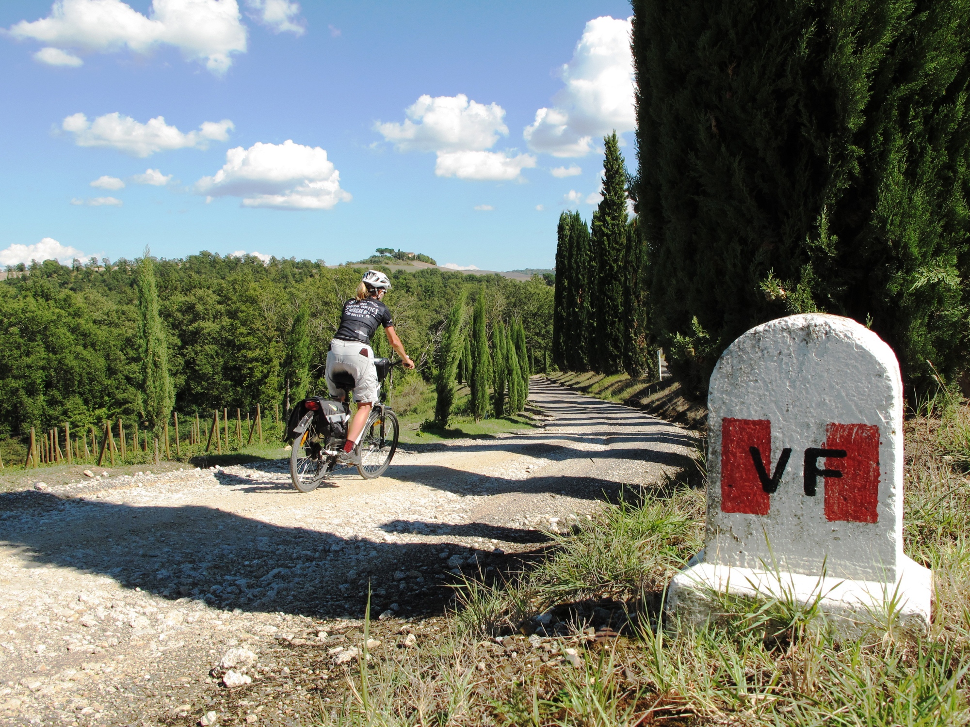
The first part of the route unfolds among enchanting views of the vineyards of the hills surrounding San Gimignano. We then descend to Poggibonsi, where we enter the bike path carved out of the old railway, which guides us to Colle Val d’Elsa. The historic center of Colle Val d’Elsa is very interesting and we recommend the short climb to cross it and then descend along the hairpin turns of Via del Cenerone.
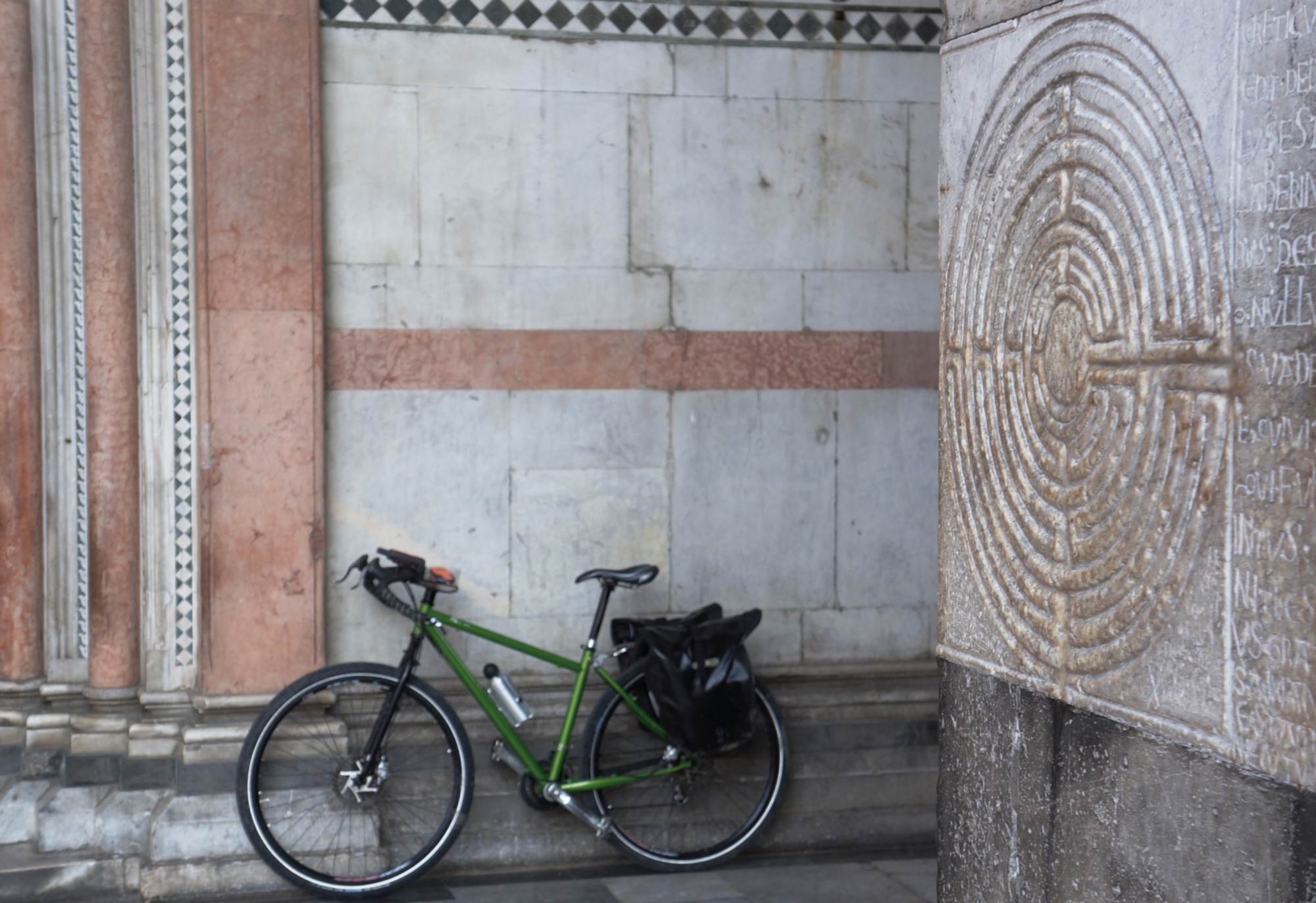
As we leave the town, we pay attention to the traffic, which may be heavy, to then reach the quiet Ponelle road that leads us uphill to the village of Scarna. Shortly after the village, a spectacular dirt section begins, which takes us up to Strove. Next, we descend to Abbadia a Isola, a stage of Sigeric, a charming village with an Abbey and adjoining hostel, the starting point to reach one of the main attractions of the Via Francigena: the castle of Monteriggioni. The detour is a short, steep climb, but a visit to this jewel is highly recommended. The itinerary continues with a pleasant alternation of ascents and descents until we reach Siena, with entry into the historic center through Camollia Gate and conclusion of the stage in the splendid Piazza del Campo.
The first part of the route unfolds among enchanting views of the vineyards of the hills surrounding San Gimignano. We then descend to Poggibonsi, where we enter the bike path carved out of the old railway, which guides us to Colle Val d’Elsa. The historic center of Colle Val d’Elsa is very interesting and we recommend the short climb to cross it and then descend along the hairpin turns of Via del Cenerone.
As we leave the town, we pay attention to the traffic, which may be heavy, to then reach the quiet Ponelle road that leads us uphill to the village of Scarna. Shortly after the village, a spectacular dirt section begins, which takes us up to Strove. Next, we descend to Abbadia a Isola, a stage of Sigeric, a charming village with an Abbey and adjoining hostel, the starting point to reach one of the main attractions of the Via Francigena: the castle of Monteriggioni. The detour is a short, steep climb, but a visit to this jewel is highly recommended. The itinerary continues with a pleasant alternation of ascents and descents until we reach Siena, with entry into the historic center through Camollia Gate and conclusion of the stage in the splendid Piazza del Campo.
- straighten
Length48.9 Km
-
Physical engagementMedium
-
Technical difficultyMedium
- trending_down
Descent567 m
- trending_up
Ascent564 m
- vertical_align_top
Maximum altitude370 m
To leave the historic center of Siena, we cross Porta Romana and take Via della Certosa. Along this first stretch of road, our eyes will be enraptured by the splendid views of the Siena skyline and the Arbia valley. In the area of Isola d’Arbia, we face a part of the route that is busier. After the village, there is a section of about 800 m of bike path on the right side of the state highway: care must be taken when entering and returning to the road.
Shortly afterwards, having arrived in Ponte a Tressa, we turn right and cross an evocative stretch that takes us near the Grancia di Cuna, an ancient fortified granary. After crossing Monteroni d’Arbia, we follow a charming dirt road that leads us to Ponte d’Arbia. From here, we follow another dirt road that takes us to the outskirts of Buonconvento. We pass through the beautiful historic center and exit the village, paying attention to the traffic along the Via Cassia, and turn right in the direction of Montalcino.
Shortly thereafter we face one of the most spectacular sections of the entire Via Francigena, following a dirt road that leads to Aghinolfi Castle and from there to Torrenieri, pedaling through the vineyards of Brunello di Montalcino. The last section of the stage guides us along the old Via Cassia, currently with little traffic, until we reach uphill the historic center of San Quirico d’Orcia.
- straighten
Length54.2 Km
-
Physical engagementMedium
-
Technical difficultyMedium
- trending_down
Descent468 m
- trending_up
Ascent553 m
- vertical_align_top
Maximum altitude411 m
We leave the historic center of San Quirico and, following the dirt road, we initially reach Vignoni Alto (a small village that deserves the short detour) and then quickly descend to Bagno Vignoni, one of the most fascinating panoramas along the entire route of the Via Francigena.
Important notice: the descent to Bagno Vignoni is extremely steep on unpaved terrain and slippery in intervals due to gravel; therefore, advanced off-road driving skills are required. If you are not experienced, it is advisable to do the section with your bike by foot (still challenging and tiring) or opt for the Via Cassia, despite the traffic.
After a restorative stop in Bagno Vignoni, we cross the Val d’Orcia in a flat section, heading toward the Castle of Spedaletto, until we reach the beginning of the long final climb that leads us first to Contignano and then to the historic nucleus of Radicofani, from whose fortress it is possible to enjoy spectacular views of the Val d’Orcia and the Val di Paglia.
- straighten
Length35.2 Km
-
Physical engagementChallenging
-
Technical difficultyChallenging
- trending_down
Descent318 m
- trending_up
Ascent682 m
- vertical_align_top
Maximum altitude783 m
On exiting Radicofani, you are presented with a choice between two routes: one is to follow the old Via Cassia, an evocative dirt road, decidedly more fascinating but characterized by some steep and challenging stretches, especially for those without experience in off-road driving; for novices, the alternative is the paved road that descends to the new Via Cassia and continues in the direction of Ponte a Rigo. From here, you follow the provincial road that delineates the border between Tuscany and Lazio; after about 4 km, you enter ultimately Lazio by turning left along a dirt road that follows the ridges of the Val di Paglia and leads to Proceno, an ancient village dominated by an ancient castle that can be visited.
Next, you continue in the direction of Acquapendente and descend toward San Lorenzo Nuovo, in view of Bolsena Lake. Here, we leave the Cassia to take the beautiful dirt road, which, among olive groves and cultivated fields, leads us to reach Bolsena.
- straighten
Length52.2 Km
-
Physical engagementMedium
-
Technical difficultyChallenging
- trending_down
Descent981 m
- trending_up
Ascent537 m
- vertical_align_top
Maximum altitude762 m