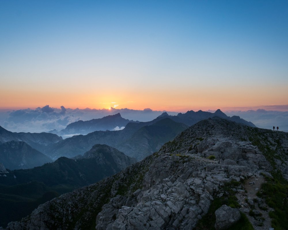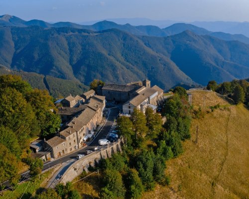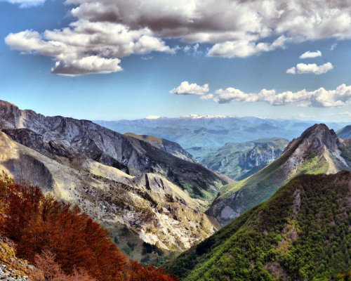


The wild Apuan peaks are the setting for an exciting trek that follows the Tuscan route of a historic commercial mule track: the Via Vandelli.
A historic commercial track winds through the rugged peaks and valleys that characterize the Apuan Alps, the Via Vandelli, which can be travelled along a daring but exciting trek that crosses the Tuscan territories of Garfagnana and the Mid Serchio Valley.
This centuries-old itinerary is one of the three historical routes of the Garfagnana. Its origin dates back to the eighteenth century, when it was formed as a commercial crossroads to connect the lands of the Este family with the Duchy of Massa and Carrara. It was built by Francesco III d’Este as a wedding gift for his son Ercole and Maria Teresa Cybo-Malaspina. It takes its name from the architect Domenico Vandelli who designed it. It was a modern road, that could be travelled with carriages and which, for safety reasons, only crossed through the landscapes of Este.
Today, the Via Vandelli is a great hiking itinerary of about 150 km, with 7 stages that connect Modena with Massa, crossing the Garfagnana from the Apennine pass of San Pellegrino in Alpe to the Passo della Tambura in the Apuan Alps. Here are the two stages that are covered in the Garfagnana.
The Via Vandelli enters Tuscany from San Pellegrino in Alpe, a small hamlet protected by the Apennines that looks over the Serchio Valley from its 1525 m a.s.l. The original route descended in the direction of Boccaia and Chiozza, along what is now the provincial road 71. The walking route cuts off the paved road with some alternative paths that lead us to Campori.
The path then heads towards Pieve Fosciana, an important junction where the Vandelli meets another historical path, the Via Matildica del Volto Santo that also comes from San Pellegrino in Alpe but with a path that reaches the fortified village of Castiglione di Garfagnana. Travelling a few more kilometers, you enter Castelnuovo, the capital of the Estense Garfagnana. Here, the Ariostesca Fortress overlooks the main square and the Mont'Alfonso Fortress protects the town from the top of the hill. The village is surrounded by greenery and is one of the access points to the Orecchiella Park and the Apuan Alps Regional Park.
Leaving Castelnuovo, the original route which currently links with SR 445, follows the orographic right of the Serchio river towards Poggio. To avoid this particularly busy stretch, the excursion route opts for the left bank of the river, with an alternative itinerary that's equally charming. To get to Poggio, a small fraction of the municipality of Camporgiano, you reach the lake of Pontecosi and cross the Serchio river by travelling over the railway bridge of the Villetta.
From Poggio di Garfagnana, the road begins to climb and the Apuan Alps come to dominate this territory, challenging trekkers in the second stage of the Tuscan Via Vandelli.
During the journey, you will come across few places and a lot of nature, crossing wooded paths and dirt roads up to Vagli di Sotto, where the artificial lake of the same name - Lago di Vagli - hides a ghost village under its surface. The road, going up the course of the Edron stream, entered this small and industrious village founded by the blacksmiths from Brescia and Bergamo who worked the iron extracted from the mines of Mount Tambura here.
The route of the Via Vandelli is wild and thrilling, climbing along the Apuan ridges until it reaches the highest point of the entire route: the Passo della Tambura. Upon reaching its 1620 m a.s.l., you are in a unique landscape where you can move carefully along the narrow and steep paths, as exciting as few places can be. Here, you are a guest of the mountain. Taking a small detour from Passo della Tambura, you can follow the CAI path 148 towards Vetta Tambura at 1895 m a.s.l., to enjoy a breathtaking view of the austere peaks of the Apuan Alps.
Once back on the Pass, the short descent begins, leading to Campaniletti which is the end point of this stage and the Garfagnana stretch of the Via Vandelli. Not far away, hinting at the path that winds along the third and last stretch, is the CAI Nello Corti Refuge, at 1450 m a.s.l. From the Arnetola Valley, up to the town of Resceto, on the Massa side, the Via Vandelli appears to us in all its original glory. Since 1752, the year of its inauguration, it testifies to the mastery with which the hairpin bends and the pavement of the road that climbs up to Passo della Tambura were designed and built.
To find out more:
Via Vandelli
Download the GPX / KML tracks of the individual stages