A walk through the Alta Via dei Parchi
From the Upper Lunigiana, immersed in a mountain atmosphere, you can look out over the Tosco-Emiliano Apennines like Anacreon’s swallow: our “migration route” from the Passo della Cisa follows the ridge – indicated by the 00 marker of the Grande Escursione Appenninica – to San Pellegrino in Alpe, at the gates to the Garfagnana.
Along the 6 stops, you’ll enjoy a unique spectacle of nature, art and history, preserved and promoted by the Appennino Tosco-Emiliano National Park.
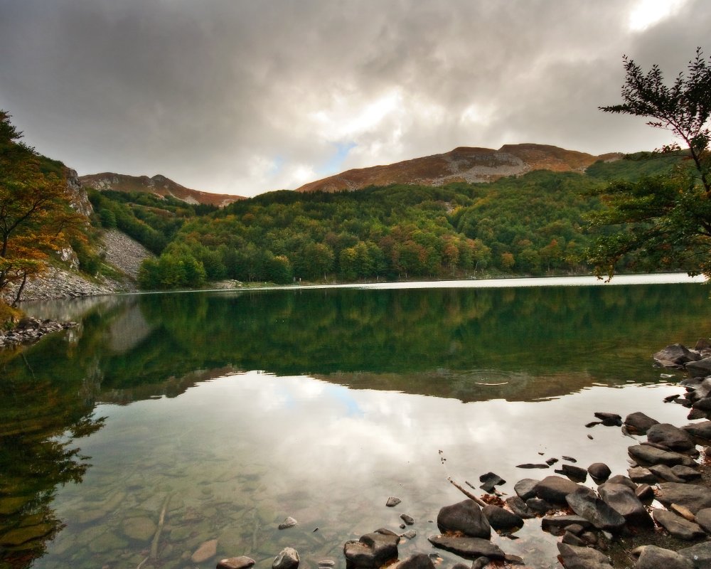
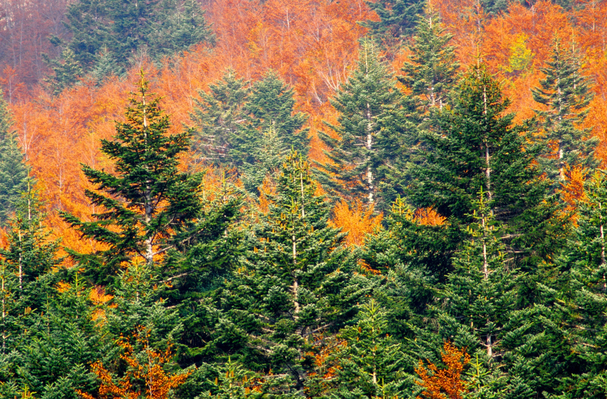
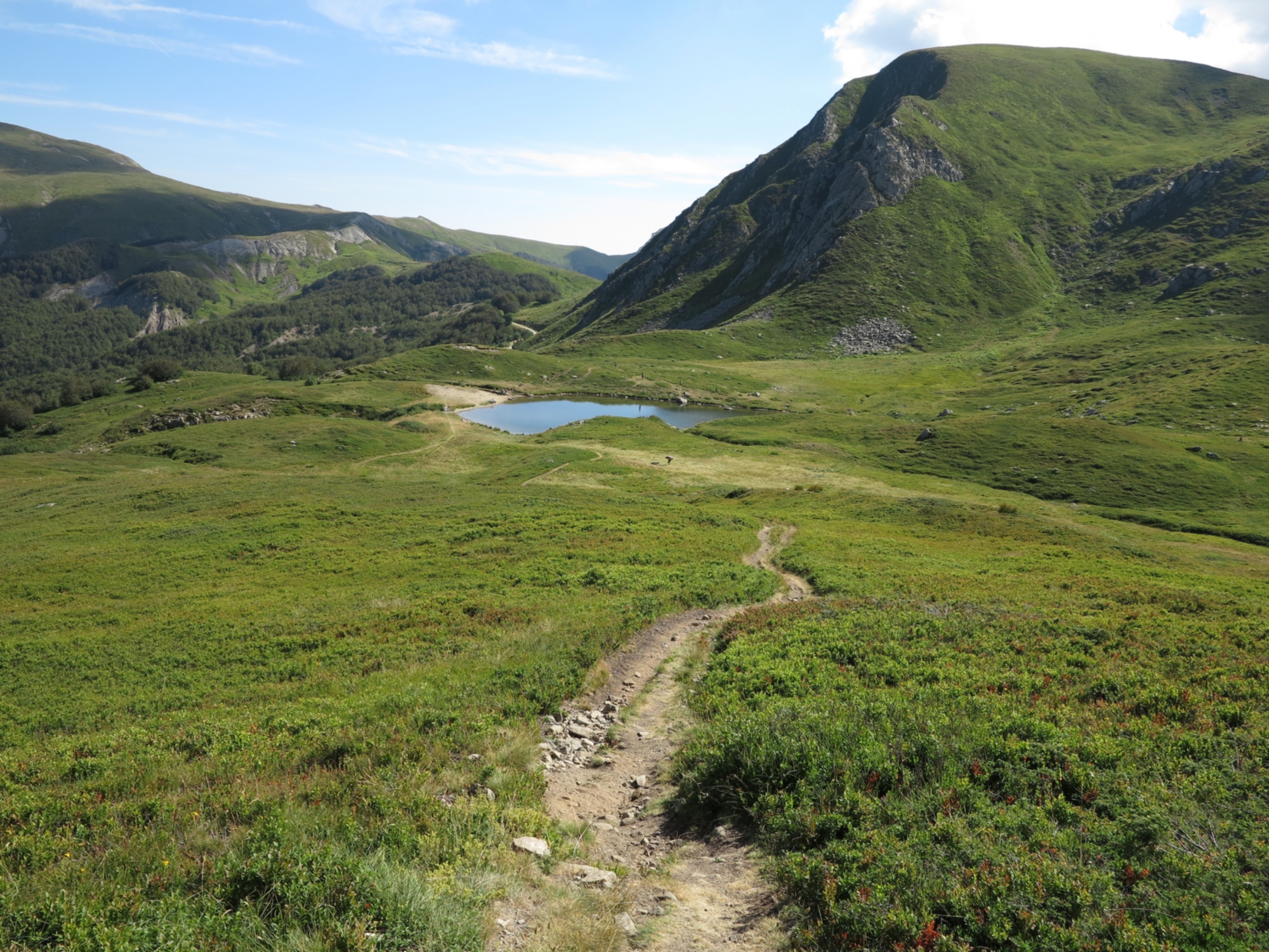
The itinerary along the Apennines begins near Passo della Cisa, which in the Middle Ages, crossing paths with the via Francigena, offered a secure route, protected from the Byzantine raids that maintained control over the coast of Liguria and Tuscany and the eastern Apennine passes. Today, just like in the distant past, following the 00 marker along the wavy, panoramic ridge, will take you by the Groppo del Vescovo and Passo di Cirone, where the sandstone surface of the crest begins. Continue through large fields as you quickly gain altitude to reach Monte Orsaro (1,830 m), which offers wide-reaching views of the Lunigiana below. Beech tree forests, mountain plains and rocks follow one after another until the path on the ridge reaches the splendid waters, boasting glacial origins, of Lake Padre and Lake Santo, home to trout and arctic chars.
The itinerary along the Apennines begins near Passo della Cisa, which in the Middle Ages, crossing paths with the via Francigena, offered a secure route, protected from the Byzantine raids that maintained control over the coast of Liguria and Tuscany and the eastern Apennine passes. Today, just like in the distant past, following the 00 marker along the wavy, panoramic ridge, will take you by the Groppo del Vescovo and Passo di Cirone, where the sandstone surface of the crest begins. Continue through large fields as you quickly gain altitude to reach Monte Orsaro (1,830 m), which offers wide-reaching views of the Lunigiana below. Beech tree forests, mountain plains and rocks follow one after another until the path on the ridge reaches the splendid waters, boasting glacial origins, of Lake Padre and Lake Santo, home to trout and arctic chars.
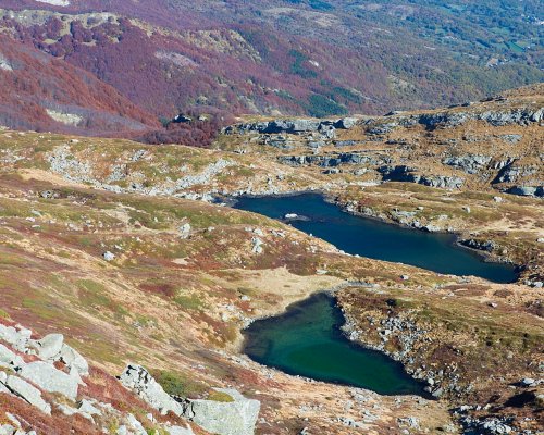
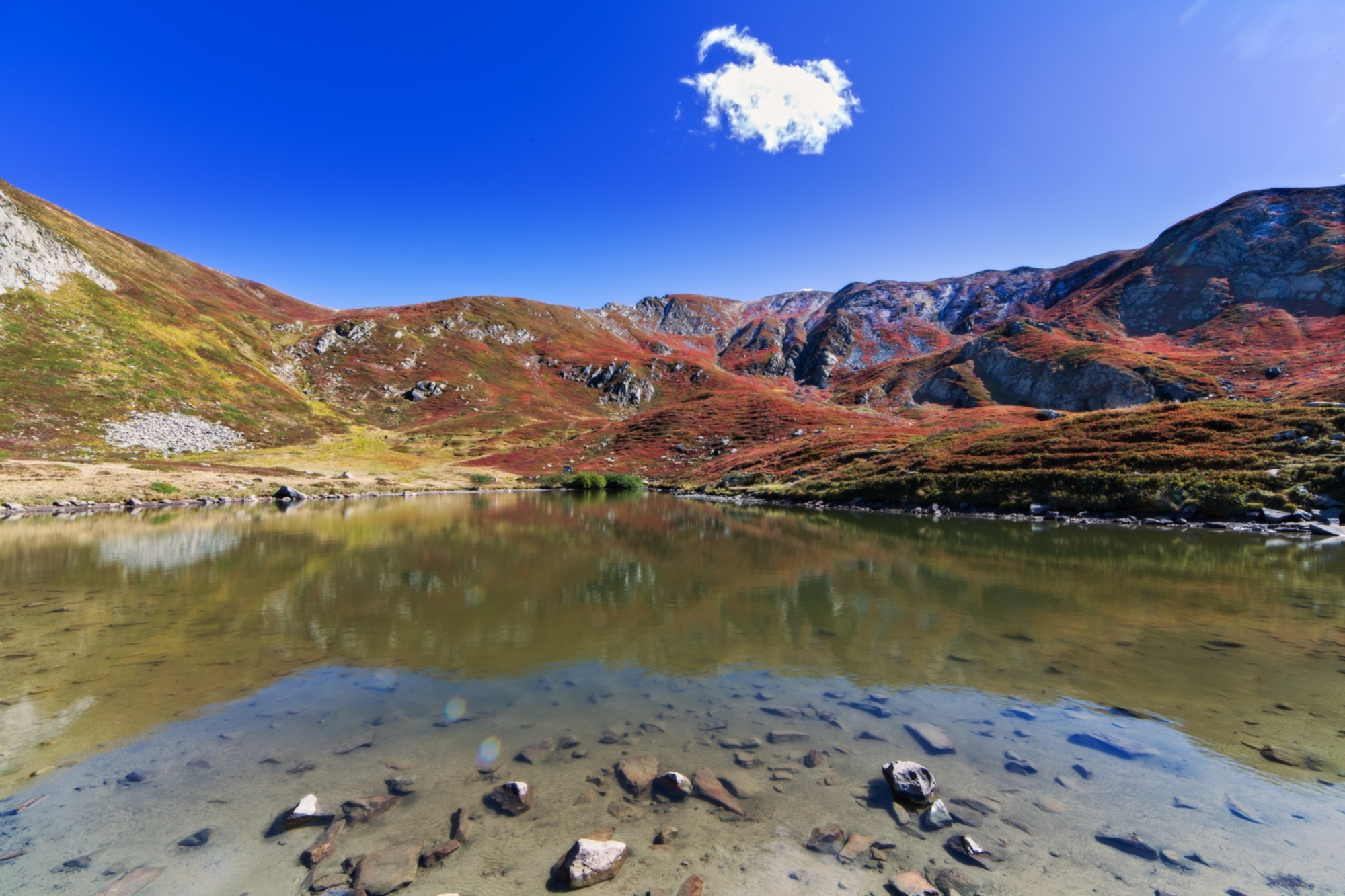
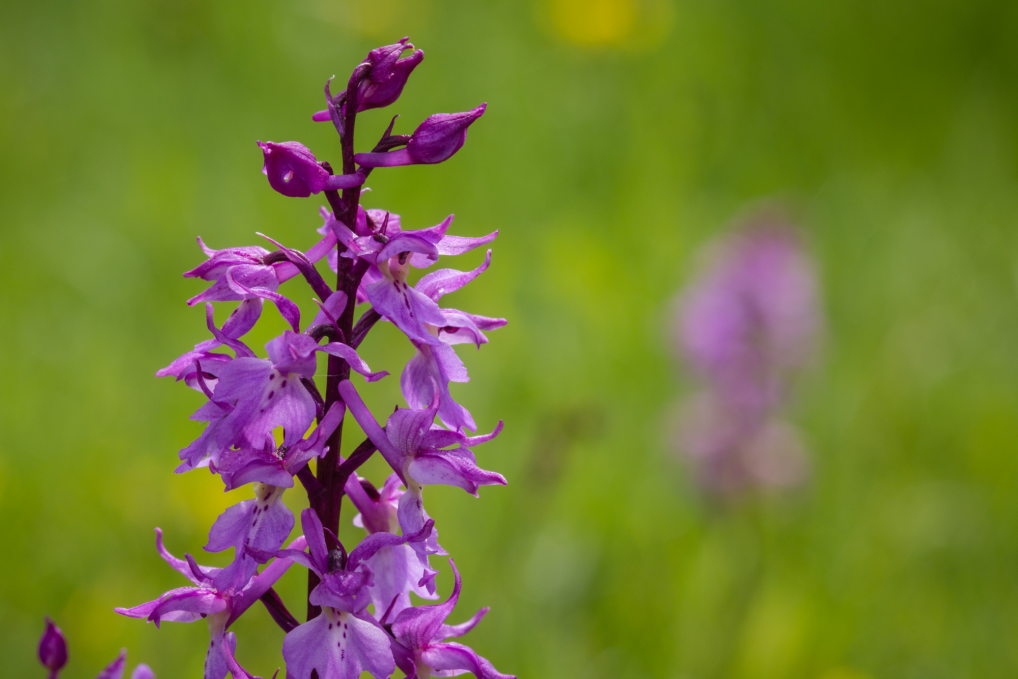
On the banks of the largest natural basin in the northern Apennines sits the historic Rifugio Mariotti. Leaving Lake Santo behind you, you’ll be met with a string of rocky crests, smooth slabs and spectacular flowers that characterize this area known for its high value in terms of nature and the landscape. Monte Marmagna has a rugged and steep slope on the Tuscan side and a softer and faded surface on the Parma side. Flanking the wooded valley of the Guadine Pradaccio State Park are the Capanne di Badignana, former pastures that today are designated for bivouacs. The Occhi di Cielo emerge a little further below: Lake Bicchiere, the Lagoni, nestled in the beech tree forest at the foot of the Rocca Pumacciolo, and Lake Scuro, home to a laboratory used by the University of Parma to monitor the fragile ecosystems of the small lake, which is surrounded by swamp plants, including many rare species. The ups and downs of the terrain accompany you through Monte Sillara (1,859 m) and the nearby lakes.
At Passo del Giovarello, you’ll begin to head down on the Emilia-facing side, passing by the small Lake Martini. A steep, rocky ravine leads to the Cagnin Bivouac. Continue down through the forest, brushing by Lake Verde and the artificial basin in Ballano. From here, you can reach Prato Spilla with a comfortable walk through the beech trees.
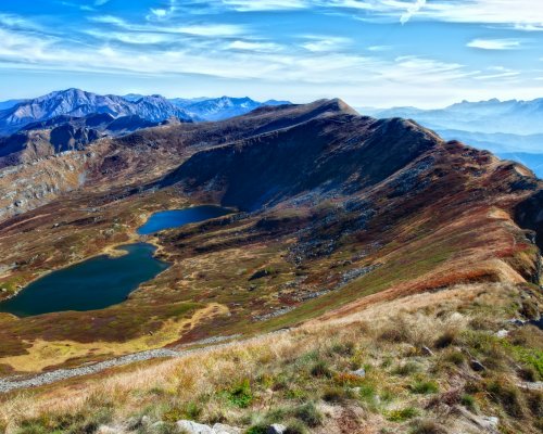
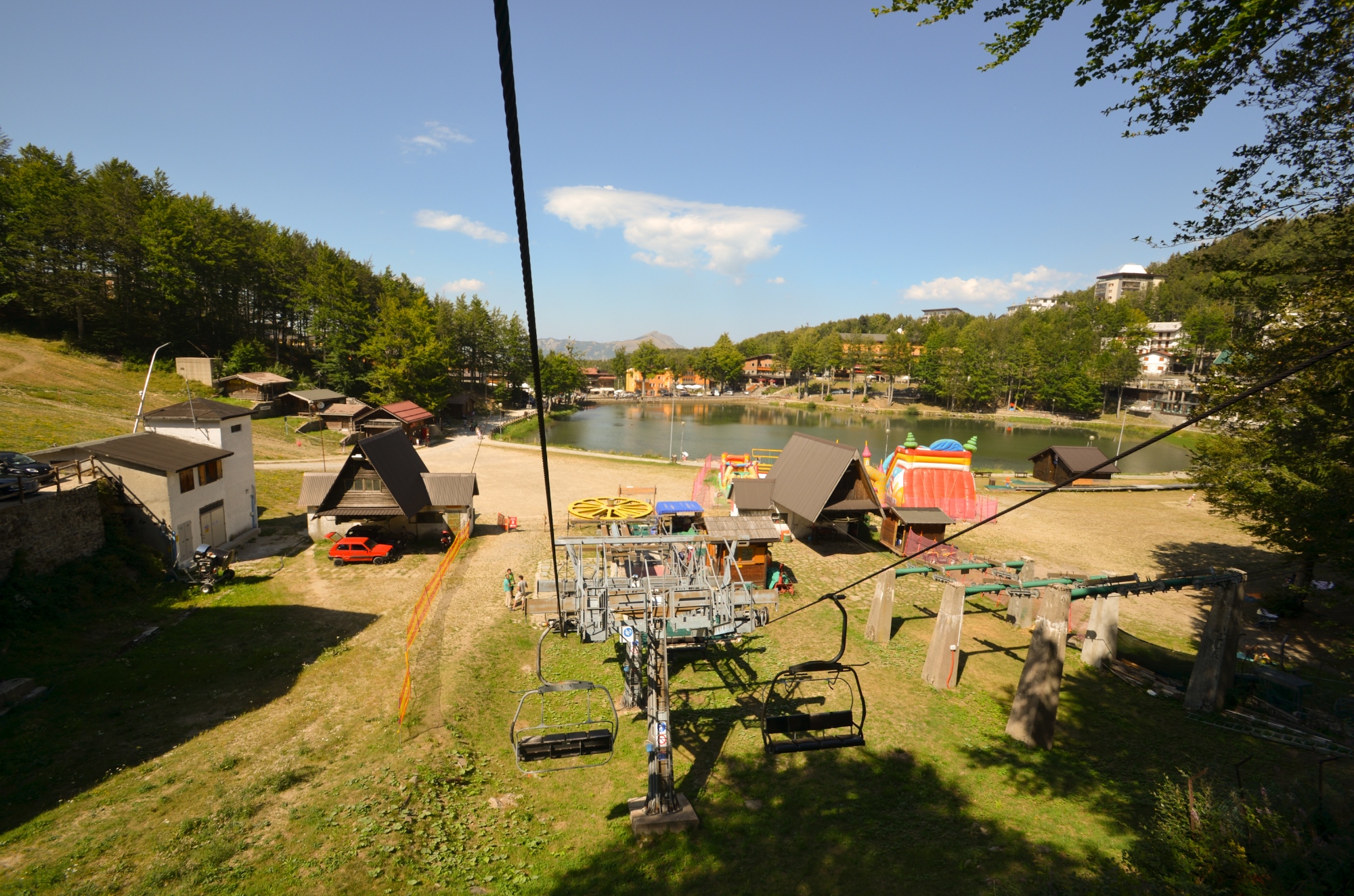
Near Prato Spilla, where the lifts of the ski resort are located, waters can be found along the whole ridge: Lake Verdarolo, reflecting the leaves of the beech trees, and the sunlit Lake Squincio, with a variety of marsh plants. This is the way to Passo del Lagastrello, a highly important crossroads that was used as far back as the Lombard era and where the Ospedale dei Linari, dating to the 10th century and managed by the Order of the Knights of Altopascio.
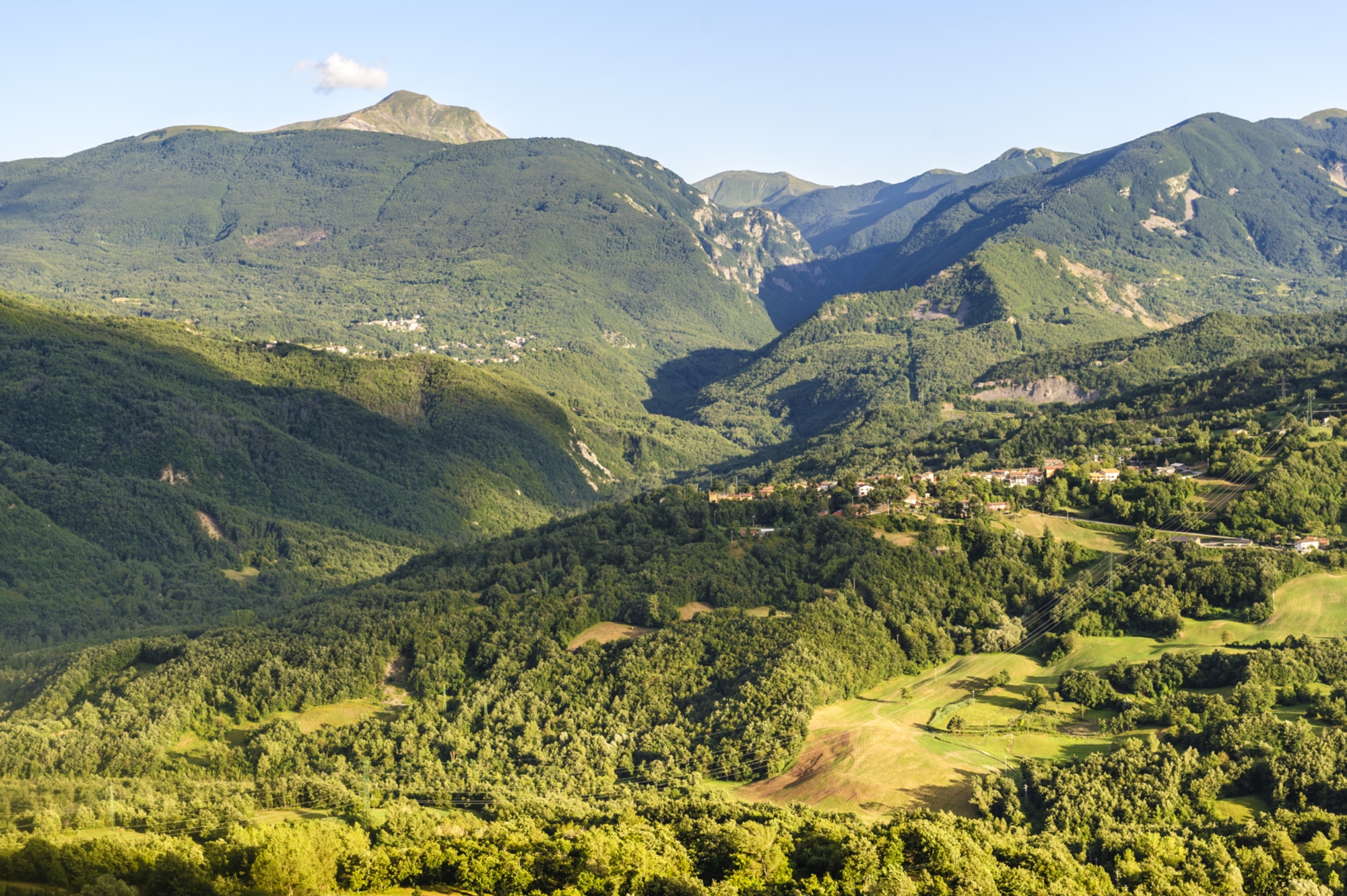
The “Sentiero dei Ducati,” a historic road that wound through the Valle dell’Enza in the 1800s, used to reach Lagastrello back when the artificial Lake Paduli didn’t yet exist. Passing by Lake of Monte Acuto, you’ll reach the Città di Sarzana Refuge (1,580 m); follow the ridge, which boasts some the highest peaks in the northern Apennines, through prairies rich in spring waters (the Ghiaccioni) and enclosed within the saw-toothed crest of the Groppi di Camporaghena. The colossal Alpe di Succiso accompanies you on your way to the narrow crevice of Passo di Pietra Tagliata (1,753 m), where a brief trail leads you to Sorgenti del Secchia and the large Prataccio plain, at the centre of which is a stone that marks the border between the three plots of land where herds belonging to shepherds from Cerreto, Succiso and Camporàghena would once roam.
Continuing on, you’ll come to Passo dell’Ospedalaccio, marked by a boundary stone indicating the border of the Cisalpine Republic and where a hospice was located in the Middle Ages. The surroundings here are much more relaxing, with soft forests and fields flanking the path to Passo del Cerreto, its lakes (Gore, Scuro, Pranda and Cerreto) and the nearby ski resort. The next stop can be reached through the wild arena that is Monte La Nuda, full of rocks and defense towers.
Near Prato Spilla, where the lifts of the ski resort are located, waters can be found along the whole ridge: Lake Verdarolo, reflecting the leaves of the beech trees, and the sunlit Lake Squincio, with a variety of marsh plants. This is the way to Passo del Lagastrello, a highly important crossroads that was used as far back as the Lombard era and where the Ospedale dei Linari, dating to the 10th century and managed by the Order of the Knights of Altopascio.
The “Sentiero dei Ducati,” a historic road that wound through the Valle dell’Enza in the 1800s, used to reach Lagastrello back when the artificial Lake Paduli didn’t yet exist. Passing by Lake of Monte Acuto, you’ll reach the Città di Sarzana Refuge (1,580 m); follow the ridge, which boasts some the highest peaks in the northern Apennines, through prairies rich in spring waters (the Ghiaccioni) and enclosed within the saw-toothed crest of the Groppi di Camporaghena. The colossal Alpe di Succiso accompanies you on your way to the narrow crevice of Passo di Pietra Tagliata (1,753 m), where a brief trail leads you to Sorgenti del Secchia and the large Prataccio plain, at the centre of which is a stone that marks the border between the three plots of land where herds belonging to shepherds from Cerreto, Succiso and Camporàghena would once roam.
Continuing on, you’ll come to Passo dell’Ospedalaccio, marked by a boundary stone indicating the border of the Cisalpine Republic and where a hospice was located in the Middle Ages. The surroundings here are much more relaxing, with soft forests and fields flanking the path to Passo del Cerreto, its lakes (Gore, Scuro, Pranda and Cerreto) and the nearby ski resort. The next stop can be reached through the wild arena that is Monte La Nuda, full of rocks and defense towers.
The Rosaro stream runs along the slopes of Monte La Nuda, which, after carving its way through the sandstone, lands in the flood valley that leads down to Sassalbo, in western Lunigiana. From the road to Cerreto Laghi, head in the direction of Monte La Nuda. You’ll cross through a majestic and mountainous environment, though it boasts a fairly unpleasant name: Valle dell’Inferno, or Inferno Valley. Stone quarries and moraine deposits mark the way to the small Rosario Bivouac (spring); you may even have the pleasure of catching sight of some adorable groundhogs. Climbing the cirque, you’ll reach a ridge that offers a view of the Garfagnana and the saw-toothed profile of the Apuan Alps, close by at this point. Once you’re past Borra Grande, the trail peters out and descends through low moorlands where blueberries grow, dotted with rhododendron – rare for the Apennines – until you come to Passo di Belfiore. The next stop, characterized by beech trees, is the nearby Passo di Cavorsella, connected by a wooded trail to Passo Pradarena, the highest pass accessible to vehicles in the northern Apennines. The scenery is incredible along the Grande Escursione Appenninica (GEA), ranging from the Apuan Alps and Monte Caio to Monte Giove and Monte Cimone
The Rosaro stream runs along the slopes of Monte La Nuda, which, after carving its way through the sandstone, lands in the flood valley that leads down to Sassalbo, in western Lunigiana. From the road to Cerreto Laghi, head in the direction of Monte La Nuda. You’ll cross through a majestic and mountainous environment, though it boasts a fairly unpleasant name: Valle dell’Inferno, or Inferno Valley. Stone quarries and moraine deposits mark the way to the small Rosario Bivouac (spring); you may even have the pleasure of catching sight of some adorable groundhogs. Climbing the cirque, you’ll reach a ridge that offers a view of the Garfagnana and the saw-toothed profile of the Apuan Alps, close by at this point. Once you’re past Borra Grande, the trail peters out and descends through low moorlands where blueberries grow, dotted with rhododendron – rare for the Apennines – until you come to Passo di Belfiore. The next stop, characterized by beech trees, is the nearby Passo di Cavorsella, connected by a wooded trail to Passo Pradarena, the highest pass accessible to vehicles in the northern Apennines. The scenery is incredible along the Grande Escursione Appenninica (GEA), ranging from the Apuan Alps and Monte Caio to Monte Giove and Monte Cimone
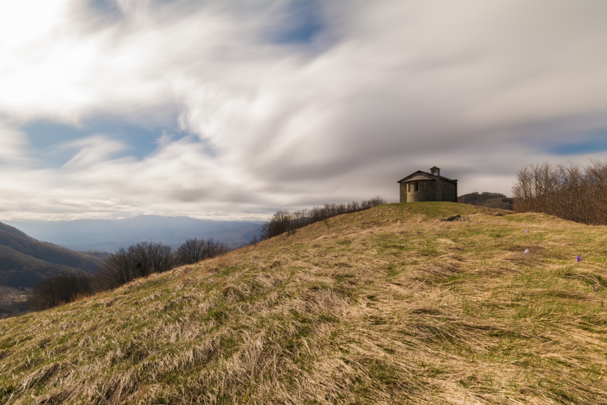
This is where the Apennines can really be felt and the altitude is important. From Passo Pradarena, continue toward Passo della Comunella, the slopes of Monte Sillano and the peak of Monte di Soraggio. The small Church of San Bartolomeo announces your arrival at Passo di Romecchio, followed by the Focerella. Head along the ridge until the plain at the summit of Monte Castellino (1,952 m). From the Monte Prado pass, descend down into the stunning glacial valley that surrounds Lake Bargetana. From Lama Lite (1,781 m), you can quickly reach the Battisti Refuge (1,751).
This is where the Apennines can really be felt and the altitude is important. From Passo Pradarena, continue toward Passo della Comunella, the slopes of Monte Sillano and the peak of Monte di Soraggio. The small Church of San Bartolomeo announces your arrival at Passo di Romecchio, followed by the Focerella. Head along the ridge until the plain at the summit of Monte Castellino (1,952 m). From the Monte Prado pass, descend down into the stunning glacial valley that surrounds Lake Bargetana. From Lama Lite (1,781 m), you can quickly reach the Battisti Refuge (1,751).
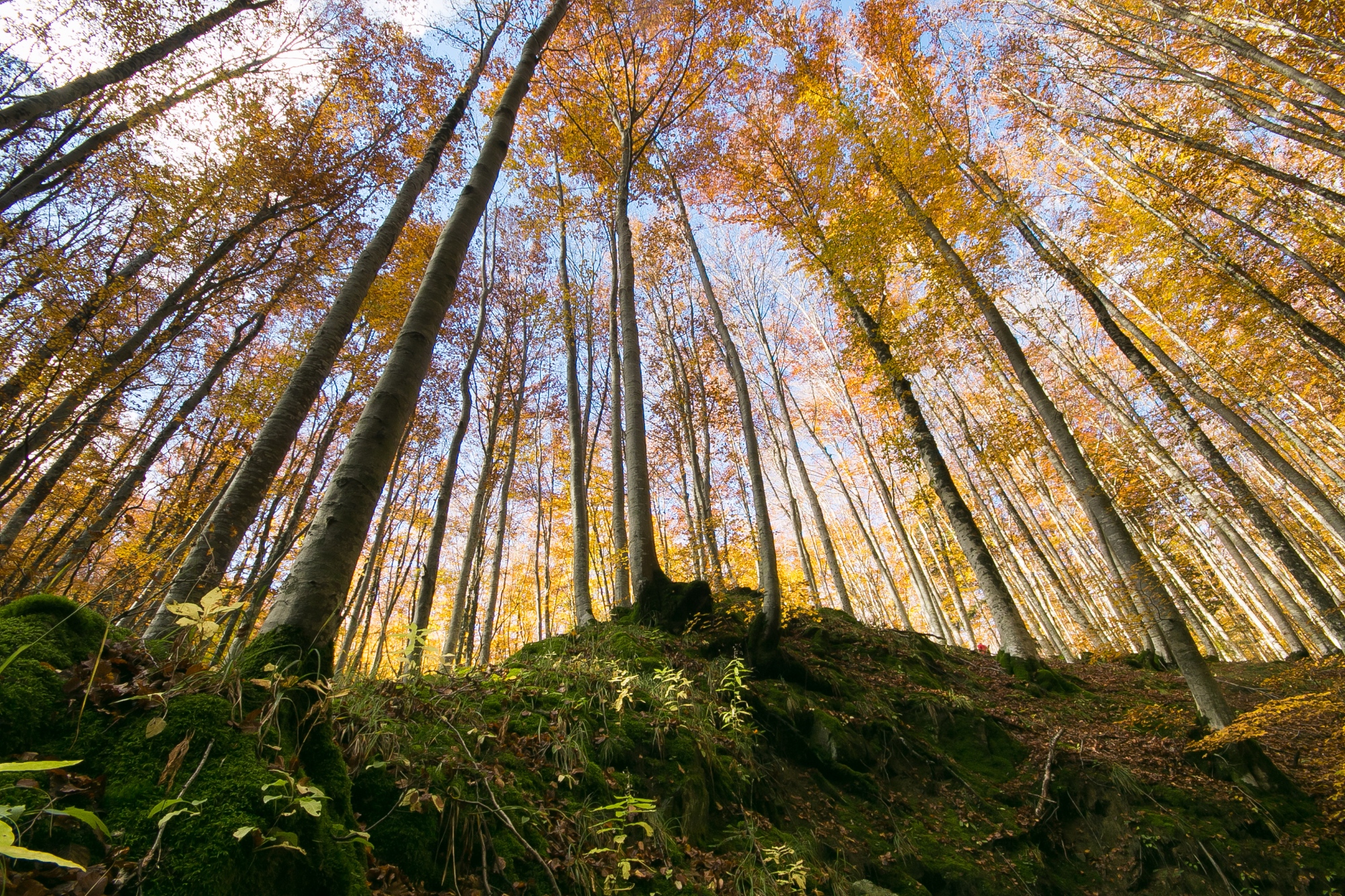
From the wide Lama Lite pass, continue your hike toward the ridge that offers a view of the upper Valle del Dolo, covered by the Abetina Reale forest. This Site of Community Importance is home to indigenous conifers, particularly silver firs, “remains” of the eras when the climate was much colder than the climate today. Hopefully you’ll catch a fleeting glimpse of the deer that have begun to roam the Apennine forests again, opening the possibility that their natural predators, like wolves and golden eagles, will return as well.
Once past the Bocca di Massa crossing (1,816 m), near Monte Vecchio, ignore trails n. 64 and 58 (variations) leading to the Pania di Corfino and the Botanical Garden, and instead descend toward Passo delle Forbici, where you will find the ancient road connecting Casone di Profecchia to the Segheria dell’Abetina Reale Refuge, which, interestingly, was made suitable for heavy vehicles after the war by the S.I.R. (Società Italiana Rimboschimenti).
At Passo del Giovarello, leave the ridge and climb down along the paved mule track in the marshy Maccherie valley. Nearing the end of this long walk, you’ll follow the ancient via Bibulca to Passo delle Radici, a foundation for traffic and communication between the Garfagnana and the slopes on the Reggio Emilia side. From Passo delle Radici, take the “ducal” road via Vandelli, which in the mid-1700s was a considerable technical challenge for its time.
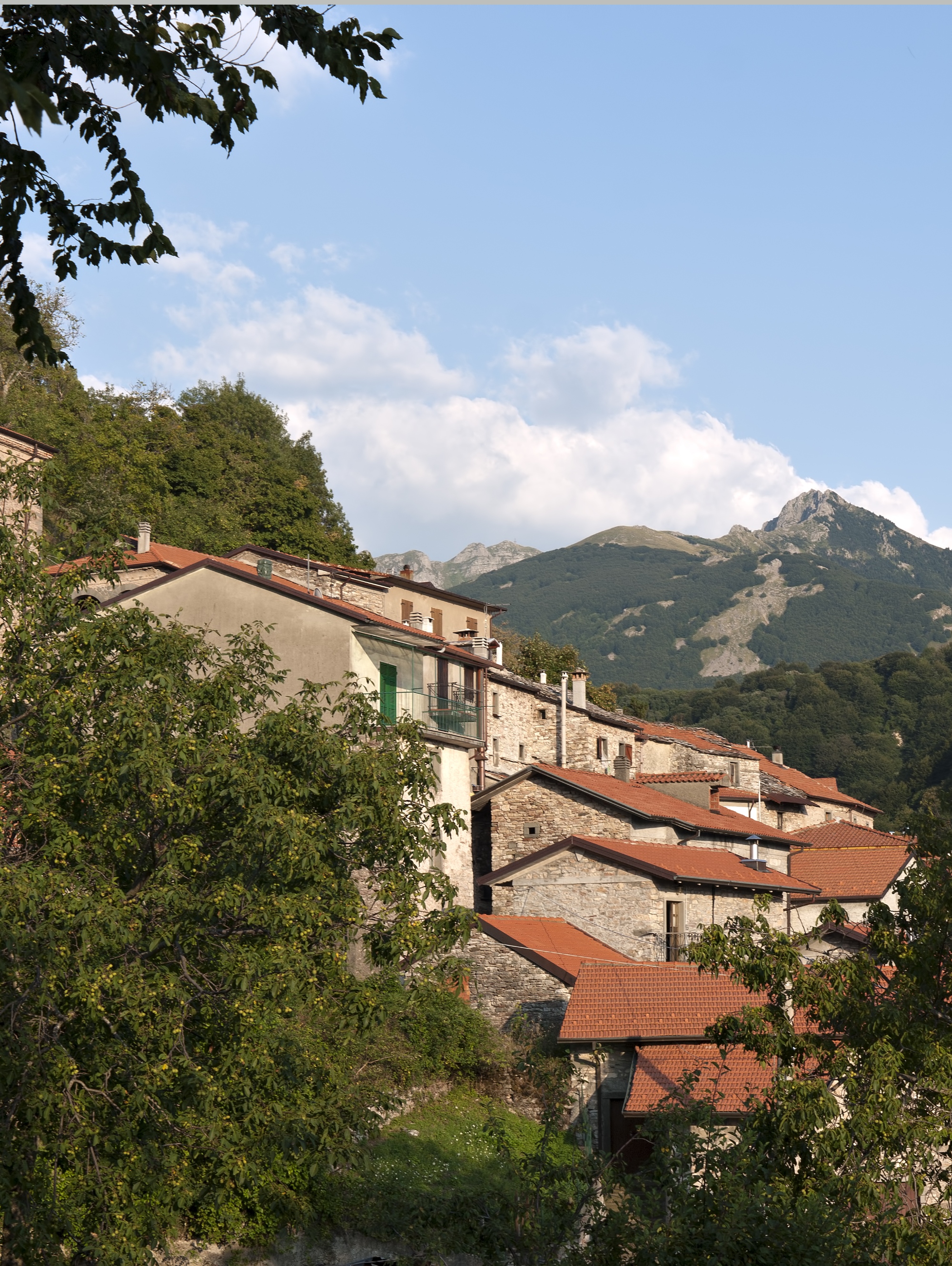
The enterprising road, now restored in the more difficult stretches, is a highly fascinating destination for hikers. This part of your hike ends around the historic hospice of San Pellegrino in Alpe, guardian of the mortal remains of Saints Peregrine and Bianco, who for centuries watched over the destiny of this outpost, once a “Hospital” for pilgrims passing through in the Middle Ages. The view of the Apuan Alps and the Garfagnana are splendid from here.
From the wide Lama Lite pass, continue your hike toward the ridge that offers a view of the upper Valle del Dolo, covered by the Abetina Reale forest. This Site of Community Importance is home to indigenous conifers, particularly silver firs, “remains” of the eras when the climate was much colder than the climate today. Hopefully you’ll catch a fleeting glimpse of the deer that have begun to roam the Apennine forests again, opening the possibility that their natural predators, like wolves and golden eagles, will return as well.
Once past the Bocca di Massa crossing (1,816 m), near Monte Vecchio, ignore trails n. 64 and 58 (variations) leading to the Pania di Corfino and the Botanical Garden, and instead descend toward Passo delle Forbici, where you will find the ancient road connecting Casone di Profecchia to the Segheria dell’Abetina Reale Refuge, which, interestingly, was made suitable for heavy vehicles after the war by the S.I.R. (Società Italiana Rimboschimenti).
At Passo del Giovarello, leave the ridge and climb down along the paved mule track in the marshy Maccherie valley. Nearing the end of this long walk, you’ll follow the ancient via Bibulca to Passo delle Radici, a foundation for traffic and communication between the Garfagnana and the slopes on the Reggio Emilia side. From Passo delle Radici, take the “ducal” road via Vandelli, which in the mid-1700s was a considerable technical challenge for its time.
The enterprising road, now restored in the more difficult stretches, is a highly fascinating destination for hikers. This part of your hike ends around the historic hospice of San Pellegrino in Alpe, guardian of the mortal remains of Saints Peregrine and Bianco, who for centuries watched over the destiny of this outpost, once a “Hospital” for pilgrims passing through in the Middle Ages. The view of the Apuan Alps and the Garfagnana are splendid from here.
For more information, consult the website: parcoappennino.it