Equi Terme Enduro Adventure

In the Apuan Lunigiana, in the presence of Pizzo d'Uccello, a ring designed for MTB Enduro and even more so for MTB E - Enduro tests uphill and downhill technique on decidedly varied terrain, from ground to stiff Apuan limestone.
The starting point is in Equi Terme, the town of Thermal Baths and Caves, and you cross the Lucido stream in the direction of the cemetery. After a short asphalt climb, take CAI path 39 in the direction of the small village of Aiola (technical and physically demanding uphill stretch). When you reach the village, after a short stop to recover from the technical climb, leaving the fountain on the left, cross the village until you find meadows, woods and cultivated fields.
Here the downhill fun begins with the first single track:
Aiola Trail - (Degree of difficulty: Blue on IMBA scale; Distance + 839 m / Difference in height -105 m)
At the end of the trail of average technical difficulty, a good initial warm-up, you cross the Lunigiana Trekking, on a dirt road, which again skirts the Lucido stream that you cross on an old stone bridge. Here you climb in the direction of the village of Vinca, below Mount Sagro, and, shortly after the club “Acqua Nera”, you climb in the direction of the village of Monzone Alto. As soon as you reach the parking lot of the village, take CAI path 40 (wide, extremely steep and challenging dirt road) to the locality of Arpa di Monzone.
At the junction with CAI path 171, the most epic trail of the loop will begin:
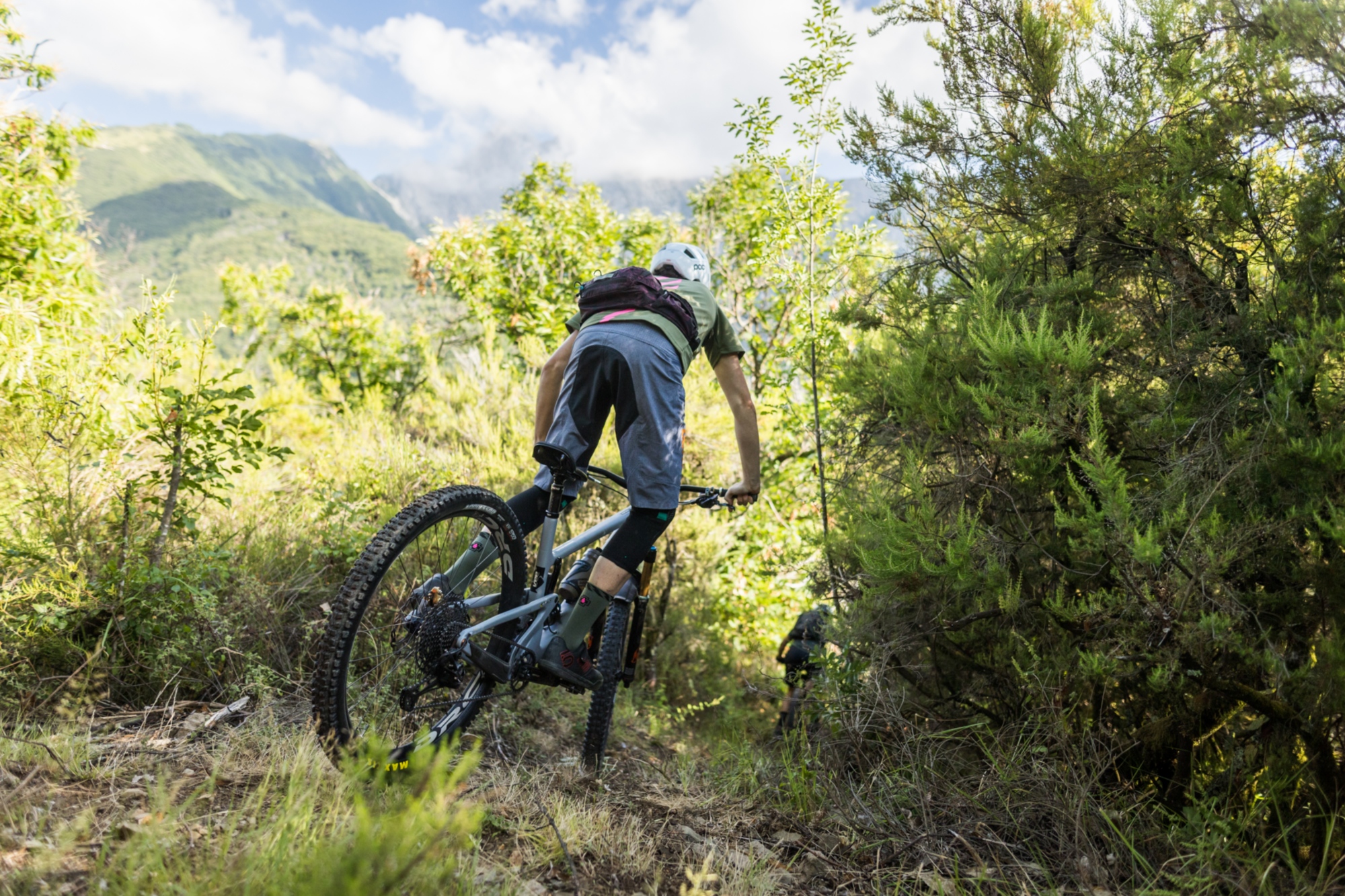
Odissea Lower Part- (Degree of difficulty: Black on IMBA scale; Distance + 4500 m / Differnce in height -740 m)
This is where it really gets serious, over rocky and highly technical terrain. Once back at the summit of Monzone Alto, you go down on a dirt road as far as the Monzone cemetery. Crossing the village you reach the asphalt climb to Mezzana and then to Fazzano.
In the village of Fazzano here is the single track of the same name, the third of the loop:
Fazzano Trail - (Degree of difficulty: Blue on IMBA scale; Distance + 1100 m / Difference in height -220 m)
At the end of the trail, near the fountain “Paradiso”, continue on dirt road towards Codiponte. Here asphalt road towards Casciana. When you reach the locality of Bancola, turn left until you get to the village of Cascia.
Once past the latter, ride your bikes for about 2 kilometers as far as the entrance of our next trail:
Cinghio Verticale - (Degree of Difficulty: Red on IMBA scale; Distance + 989 m / Difference in Height - 249 m).
The word “vertical” here is really well argued. At the end of the trail you turn right crossing a climb of a considerable physical effort, tracing the route of an old horse trail. After about 2 kilometer you ride your bikes on the paved road between Mezzana and Casciana.
After leaving the village of Casciana behind, at an angle on the right, here is the last trail of the loop:
La Gagliata - (Degree of difficulty: Red on IMBA scale; Distance+ 1000m / Difference in Height - 233 m).
You are again at the Equi T. railroad and, after going around it on an alley road, here you are at the starting point of the loop.
The trails can also be hiked without following the loop.