

Walking among the nature reserves of northern Tuscany, from the Tyrrhenian coast to the inland areas
The Regional Nature Reserves of Tuscany preserve unique environments where you'll find rare plants that are extinct elsewhere, as well as numerous species of fauna, including many birds that stop or nest.
The 'Tuscan nature itinerary: hills', takes us from the Tyrrhenian coast to the inland areas, through the gentle hills to discover the central-northern protected areas. It takes in Monte Serra and the Monterufoli Caselli Reserve, and passes through the Bosco di Tanali, Sibolla Lake, the Fucecchio Marshes and the Berignone Forest.
This itinerary can also be explored by mountain bike, bearing in mind that the cycling route doesn't always coincide with the one on foot.
The itinerary begins in Piazza dei Miracoli, Pisa, and continues along the "Way of Matilde" that coincides in this section with the centuries-old Via degli Acquedotti, a path connecting Pisa and Lucca that runs along the two aqueducts that brought water to the cities: the Nottolini Aqueduct and the Medici Aqueduct. The end of the first stage is Asciano Pisano at the foot of the Pisan Mountains, before we start climbing Monte Serra.
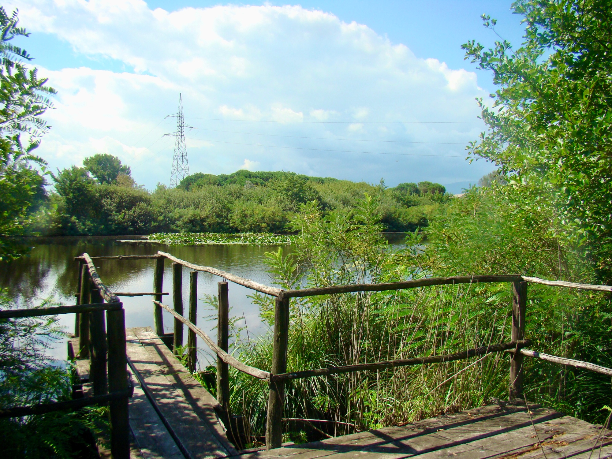
Those who want to visit the Migliarino San Rossore Park leaving from the Tower of Pisa can head south from Piazza dei Miracoli along Viale delle Cascine. A detour of about two hours leads us to discover a mosaic of varied landscapes: sand dunes, pine forests, marshes and lush woods.
The itinerary begins in Piazza dei Miracoli, Pisa, and continues along the "Way of Matilde" that coincides in this section with the centuries-old Via degli Acquedotti, a path connecting Pisa and Lucca that runs along the two aqueducts that brought water to the cities: the Nottolini Aqueduct and the Medici Aqueduct. The end of the first stage is Asciano Pisano at the foot of the Pisan Mountains, before we start climbing Monte Serra.
Those who want to visit the Migliarino San Rossore Park leaving from the Tower of Pisa can head south from Piazza dei Miracoli along Viale delle Cascine. A detour of about two hours leads us to discover a mosaic of varied landscapes: sand dunes, pine forests, marshes and lush woods.
- straighten
Length17 km
-
DifficultyHiking Trail
- schedule
Duration4 hours
- trending_down
Descent94 m
- trending_up
Ascent92 m
Walking along the CAI 121 path from Asciano, we arrive at “al Cisternone”, a structure built in 1696 for the supply of spring water. From here, we pass through Mirteto and follow the CAI 00 path (Passo della Conserva). Continuing along the ridge, we arrive at Prato al Giovo and subsequently the Monte Serra di Sotto Regional Nature Reserve. Here, you can observe rare plant species (also called relict species) such as the carnivorous plant Rosolida (Drosera rotundifolia) and sphagnum (moss).
In these wetlands, we can find amphibians such as the agile frog (Rana dalmatina) and the Italian crested newt (Triturus carnifex), birds such as the woodlark (Lullula arborea) and the blue rock thrush (Monticola solitarius), while among the mammals is the oak mouse (Eliomys quercinus) and the dormouse (Muscardinus avellanarius).
The itinerary then continues in the direction of Buti following the CAI 148A and CAI 148.
- straighten
Length19,5 km
-
DifficultyTrail for Experienced Hikers
- schedule
Duration7 hours
- trending_down
Descent1515 m
- trending_up
Ascent1456 m
From Buti, the CAI 140 and CAI 144 paths lead up to Caccialupi, right at the entrance to the Bosco di Tanali Regional Nature Reserve. Here, it's possible to observe relict species such as the florida fern (Osmunda regalis), the largest Italian fern. Numerous rare aquatic and marsh plants such as the aquatic carnivorous plant Utricularia australis also coexist. The Bosco di Tanali Regional Nature Reserve is also an important resting and nesting place for numerous species of birds such as the pendulum (Remiz pendulinus), the reed warbler (Acrocephalus scirpaceus) and the river nightingale (Cettia cetti).
Following the paved road that runs through the countryside, we reach Orentano. Alternatively, we can take the path that connects with the Montefalcone State Nature Reserve, the most important natural area of the Cerbaie area.
- straighten
Length19 km
-
DifficultyHiking Trail
- schedule
Duration6 hours
- trending_down
Descent1367 m
- trending_up
Ascent813 m
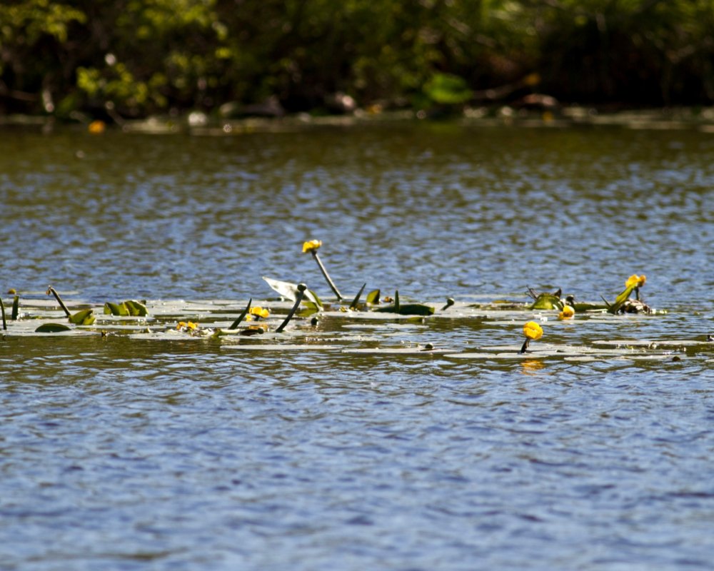
From Orentano, we follow the 200 section of the paths of the Colline delle Cerbaie and arrive at Villa Campanile. From here, we travel along the Via Francigena route until we reach Altopascio and then we head to the Lake Sibolla Regional Nature Reserve, a wetland of international importance that today is home to one of the most important heron colonies in Tuscany.
In the reserve, there are extensive reeds and "aggallati" where glacial relicts such as sphagnum and carnivorous plants live. Leaving the protected area, continue along the embankment until you reach the Fucecchio Marshes which is the end of the stage.
- straighten
Length20 km
-
DifficultyHiking Trail
- schedule
Duration5 hours
- trending_down
Descent331 m
- trending_up
Ascent345 m
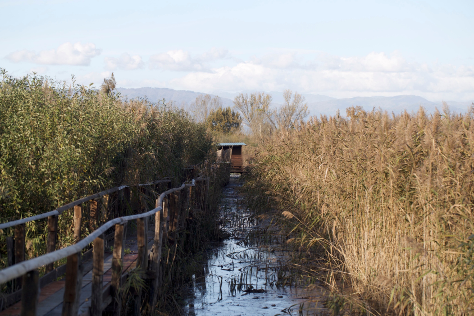
We are near the Fucecchio Marshes Regional Nature Reserve, a wetland of international importance and the most important area in Tuscany for the number of water birds that winter there. These include the red heron (Ardea purpurea), the marsh harrier (Circus aeruginosus), the Knight of Italy (Himantopus himantopus), the greater flamingo (Phoenicopterus roseus) and the white stork (Ciconia ciconia).
The itinerary continues until we reach the embankment of the major canal (Usciana) which takes us to Ponte a Cappiano and Fucecchio. Continuing along the Via Francigena, we arrive in San Miniato Alto where the stage ends.
- straighten
Length21 km
-
DifficultyHiking Trail
- schedule
Duration6 hours
- trending_down
Descent713 m
- trending_up
Ascent756 m
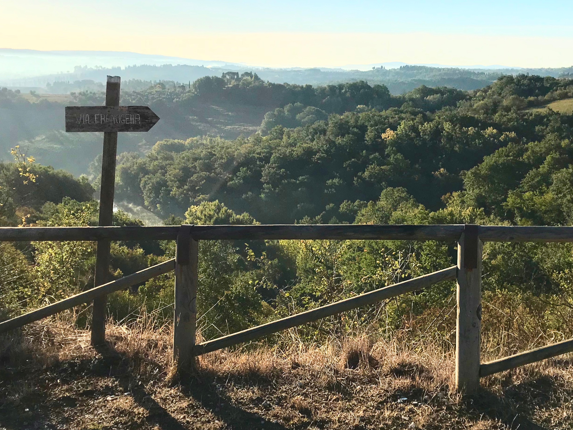
This section of the itinerary coincides with Leg 30 of the Via Francigena. Leaving from the historic centre of San Miniato, we take an hour's walk on asphalt, following a panoramic white road that crosses the “Pliocene” hills of the Valdelsa among fossil sands, centuries-old villages and breathtaking landscapes in the middle of Tuscany.
It's worth stopping by the majestic Quercia di Pilerno near the lake of the same name, perhaps leaving a thought in the "pot/diary" placed at its feet.
- straighten
Length24 km
-
DifficultyHiking Trail
- schedule
Duration7 hours
- trending_down
Descent650 m
- trending_up
Ascent942 m
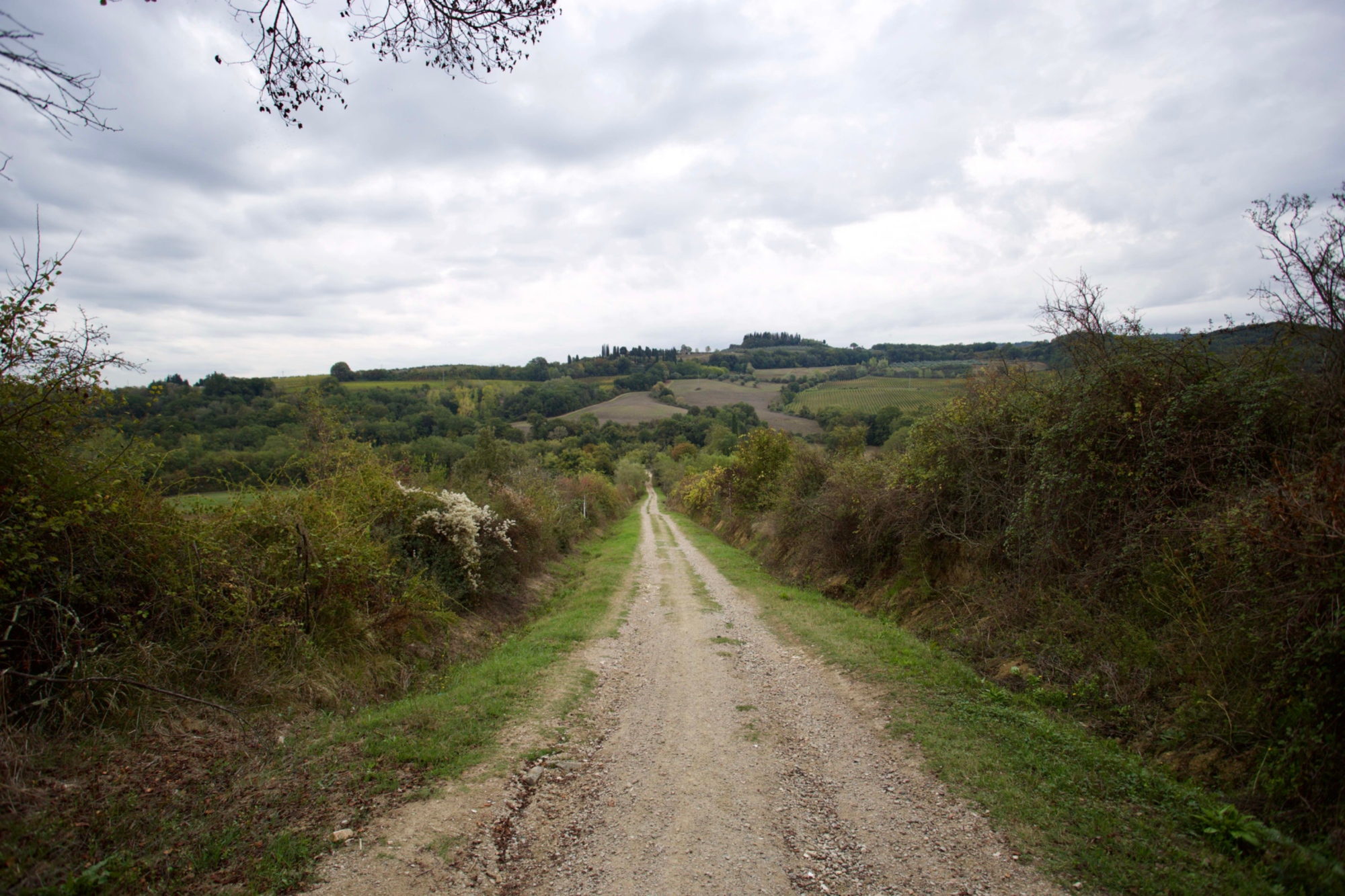
This stretch coincides with stage 31 of the Via Francigena, ending in the beautiful village of San Gimignano. From Gambassi Terme, we reach the historic centre of the town and from here we travel towards the open countryside along a dirt road that runs through vineyards and forests. Along the way, there's a sign on the right for the "dei Bollori" route. This deviates a couple of kilometers from the itinerary, and leads to the discovery of the thermal springs and spectacular geyser.
The dirt road takes us towards Luiano di Sotto. After crossing the Ponte della Madonna, we enter the lands of San Gimignano.
- straighten
Length13 km
-
DifficultyTourist trail
- schedule
Duration4 hours
- trending_down
Descent450 m
- trending_up
Ascent417 m
From San Gimignano, we continue in the direction of San Donato to access the Castelvecchio Regional Nature Reserve, where we find the fascinating ruins of the medieval stronghold.
This reserve is an area of considerable importance for conservation of biodiversity in central Tuscany. In some areas, there's the phenomenon of thermal inversion that enables the existence of beech trees at low altitude (Fagus sylvatica), mountain maples (Acer pseudoplatanus) and yews (Taxus baccata). Here, you can also find rare plants such as Ononis natrix, whose name refers to water snakes (Natrix spp.) as it was once believed that this plant could keep snakes away.
From the entrance to the Castelvecchio Regional Nature Reserve near San Donato, we continue along the forest road towards Caggio, up as far as the crossroads, for the ruins of Castelvecchio and then we arrive in Ulignano, at the entrance to the Montenero Regional Nature Reserve where the stage ends.
- straighten
Length20 km
-
DifficultyHiking Trail
- schedule
Duration6 hours
- trending_down
Descent848 m
- trending_up
Ascent1082 m
From Ulignano, we enter the Montenero Regional Nature Reserve: a green island set within the agricultural areas of the surrounding hills. Unique environments of the Regional Nature Reserve include the forests on the steep slopes of Montenero and the gorges carved by the erosive action of the Strolla stream.
The latter has created a very charming natural landscape with beautiful waterfalls where it's possible to observe amphibians such as the Apennine frog (Rana italica), a species that can only be found in Italy. In the woods, there are numerous species of small birds such as the tree creeper (Certhia brachydactyla) and the firecrest (Regulus ignicapilla). We walk along the southern part of the Montenero ring "In the gorges of the Strolla stream, between woods and centuries-old churches" and resume the road passing from Prato d’Era along a panoramic road towards Volterra, where our stage ends.
- straighten
Length9 km
-
DifficultyHiking Trail
- schedule
Duration3 hours
- trending_down
Descent1109 m
- trending_up
Ascent863 m
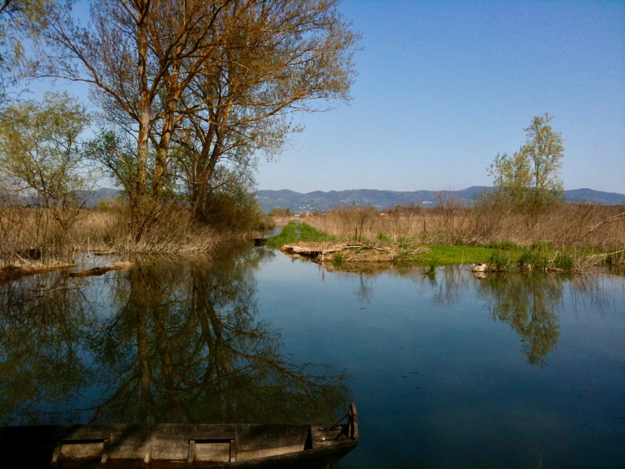
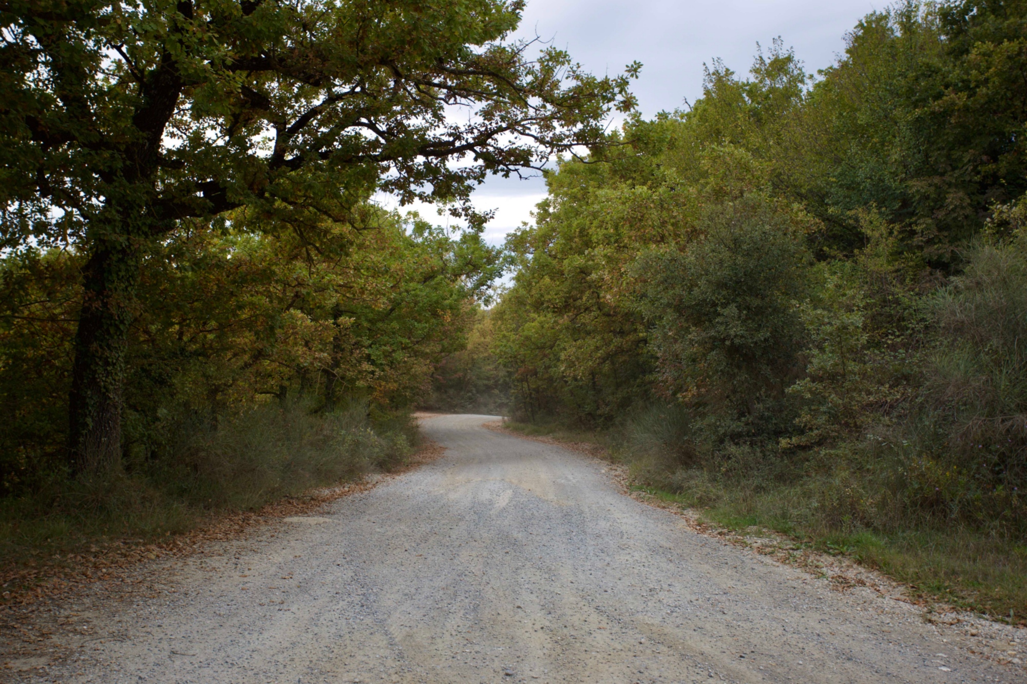
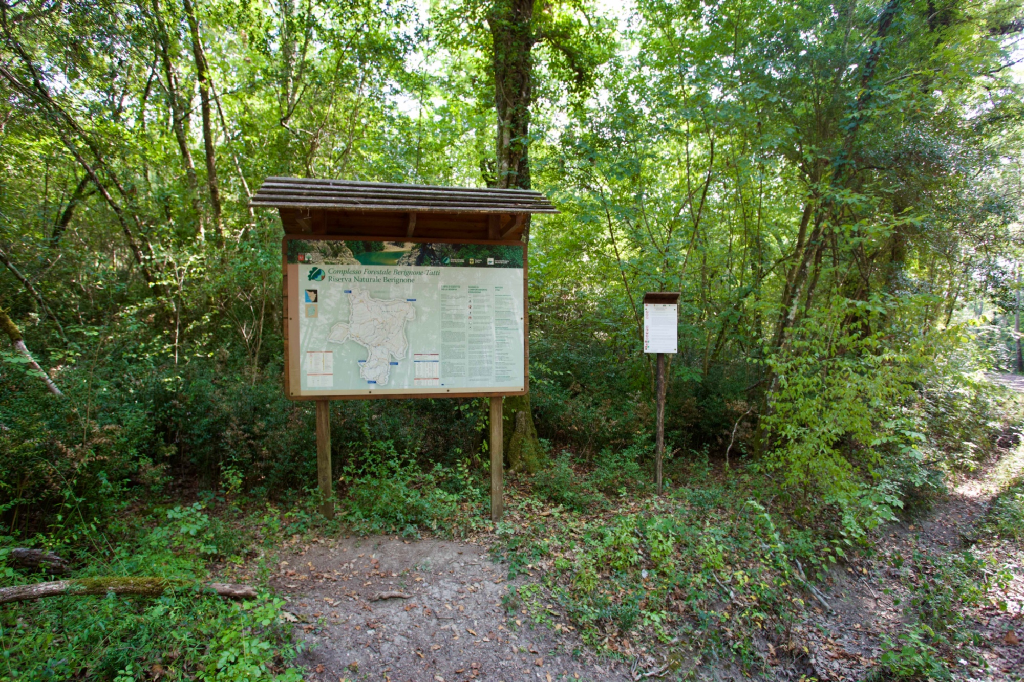
From Volterra, we continue to Mazzolla by taking the Etruscan road and entering the Berignone Forest Regional Nature Reserve (Ring of Berignona). Here, stretches of the Fosci, Sellate and Pavone streams flow, but above all a portion of the Cecina River can be found weaving through one of the most iconic and charming places: the Masso delle Fanciulle. The alternation of wooded, scrub and river areas makes the Regional Nature Reserve a place of interest for numerous species of birds such as the oriole (Oriolus oriolus) and the little kingfisher (Alcedo atthis).
We then arrive at the Capannone and the Sellate stream until we cross the Cecina River and go up to Pomarance using the Macie road where the stage ends.
- straighten
Length25 km
-
DifficultyTrail for Experienced Hikers
- schedule
Duration7 hours
- trending_down
Descent972 m
- trending_up
Ascent939 m
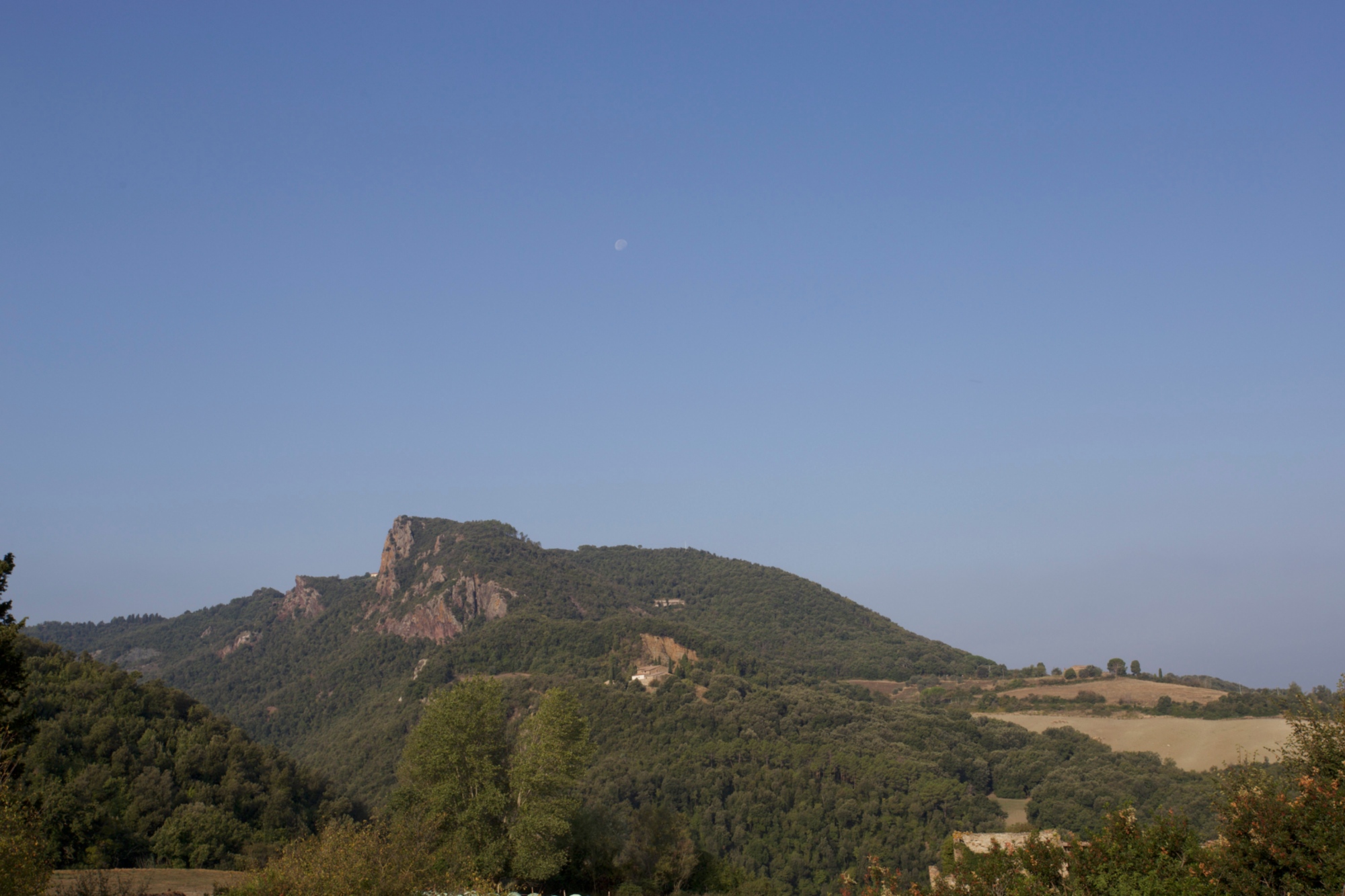
From Pomarance, we take the SP47 of Micciano up to the junction for Libbiano. From here,the Via Comunale di Libbiano leads us to the village of the same name. The Trossa stream is noteworthy from an environmental perspective, and we cross it halfway along our route, near which it's possible to observe willows (Salix purpurea) and rare orchids. Once in Libbiano, we are now at the beginning of the woods of the Monterufoli-Caselli Regional Nature Reserve which we can observe from the panoramic point of the town.
From Pomarance, we take the SP47 of Micciano up to the junction for Libbiano. From here,the Via Comunale di Libbiano leads us to the village of the same name. The Trossa stream is noteworthy from an environmental perspective, and we cross it halfway along our route, near which it's possible to observe willows (Salix purpurea) and rare orchids. Once in Libbiano, we are now at the beginning of the woods of the Monterufoli-Caselli Regional Nature Reserve which we can observe from the panoramic point of the town.
- straighten
Length13 km
-
DifficultyHiking Trail
- schedule
Duration4 hours
- trending_down
Descent370 m
- trending_up
Ascent464 m
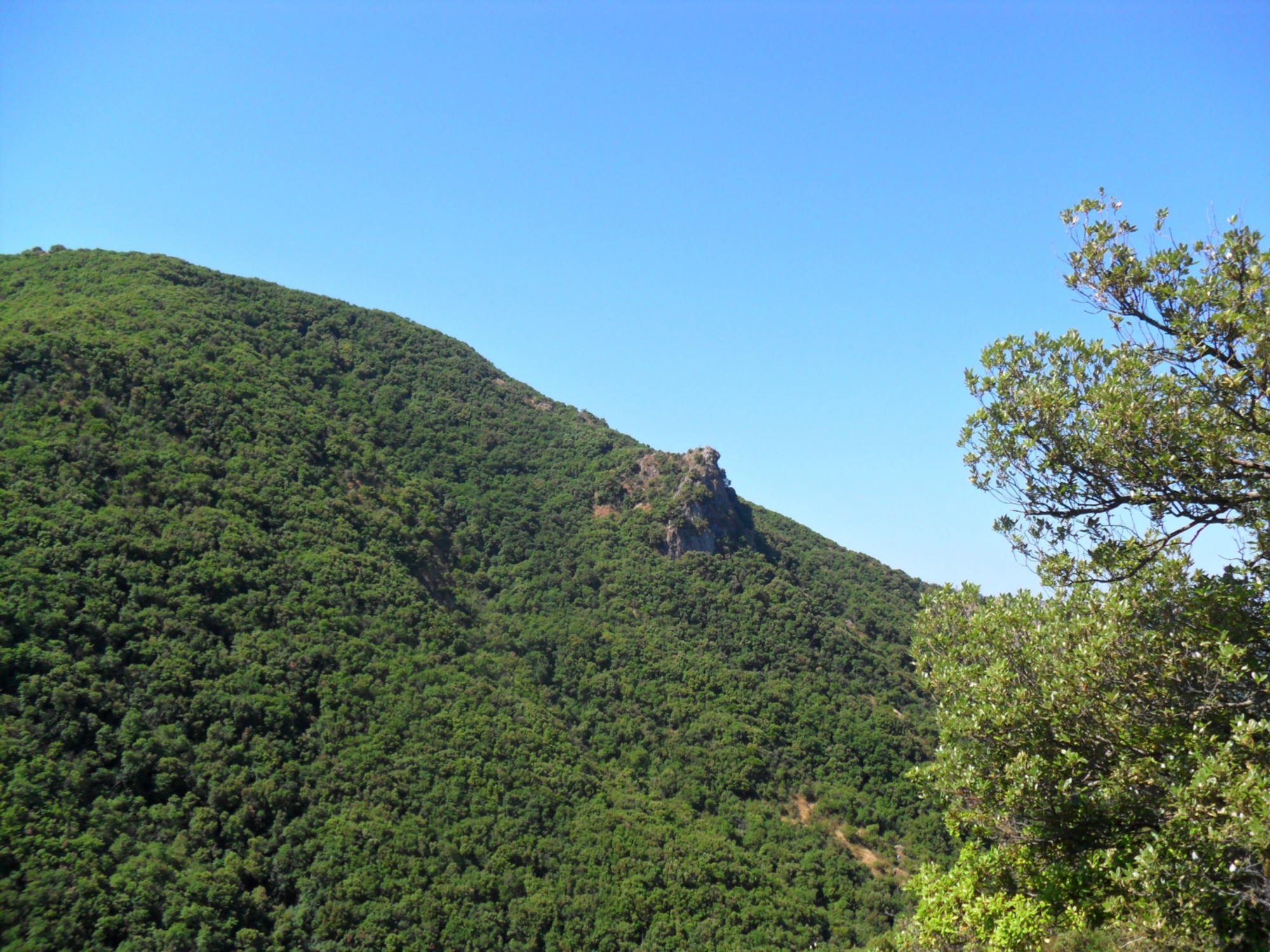
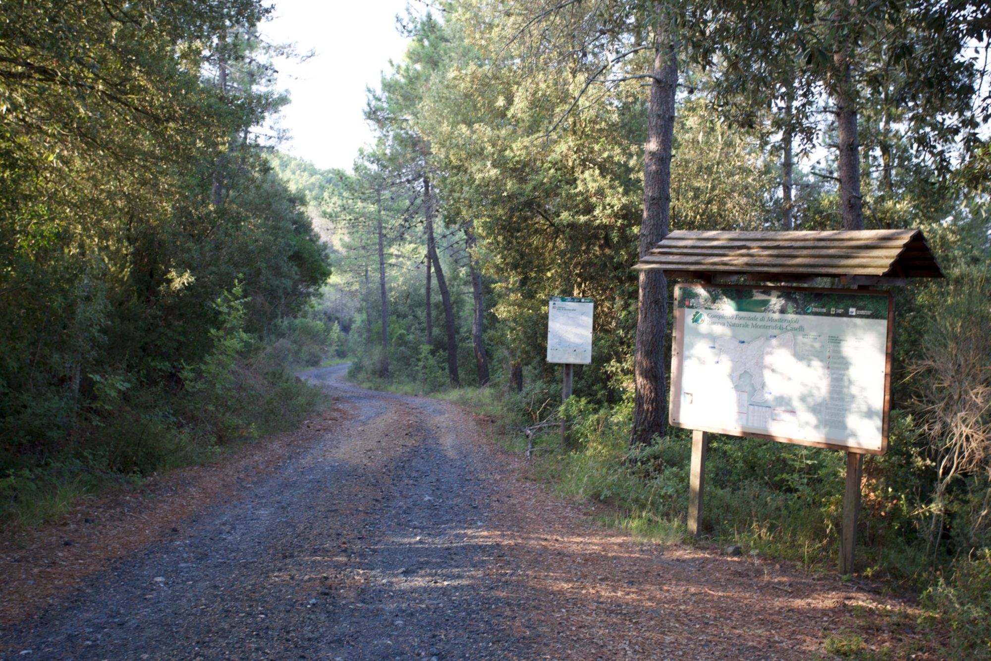
From Libbiano, we enter the Monterufoli Caselli Regional Nature Reserve, one of the wildest areas of Tuscany due to the extension (about 4,800 hectares) of its almost continuous forest cover.
The Regional Nature Reserve is also of high conservation importance given its numerous species of fauna. Among the species of birds we find is the whitethroat (Sylvia cantillans), the magnanina (Sylvia undata) and the passerine bird. Along the numerous streams that run through the Regional Nature Reserve, in addition to the dipper (Cinclus cinclus), there are spectacled salamanders (Salamandrina perspicillata) and the Apennine frog (Rana italica). The symbolic animal of this area, however, is the "Monterufoli horse", an indigenous horse breed that's currently the subject of conservation and promotion activities.
From Querceto, we reach the Ponteginori train station, after having travelled the Sp 47 to return by train to Cecina and then to Pisa where our ideal ring ends.
- straighten
Length24 km
-
DifficultyTrail for Experienced Hikers
- schedule
Duration7 hours
- trending_down
Descent1208 m
- trending_up
Ascent818 m
For more information on the "Tuscan Nature Itinerary - Reserve routes in reserve", please refer to the page of the Regione Toscana (Tuscan Regional Council) where it's possible to find further information on the whole network of thematic itineraries that connect the regional nature reserves, as well as download information on the stages and trails of the itineraries that can also be travelled by MTB.