Elba: exploring the north-eastern side

The starting point of our itinerary is in Rio Marina, a village in the municipality of Rio embedded between the reddish colors of the disused mining sites and the blue of the sea that has always been a land of miners and navigators. Among the towns on the eastern side, Rio Marina is certainly the one most linked to mining and its traditions, evidence of which can be found in the Museo dei Minerali e dell’Arte Mineraria of the Parco MineraRio.
We start riding our bikes by taking provincial road 26 toward the hamlet of Cavo. As soon as we leave the village, the industrial remains of the Vigneria washery facilities are still visible, while the loading dock, for years a symbol of the village's industrial past, now lies on the seabed a few meters from the coast.
The provincial road accompanies us along the coast with a series of ups and downs in a northerly direction, allowing us to discover in sequence the beaches of Topinetti and then Cala Seregola, with its characteristic bright iron sands.
Continuing slightly downhill, with panoramic glimpses of the Piombino canal and the Tuscan coast, we arrive at the built-up area of Cavo, riding along its entire waterfront and then joining the Faleria ring road and resuming the steady climb of provincial road 33 of the Parata.
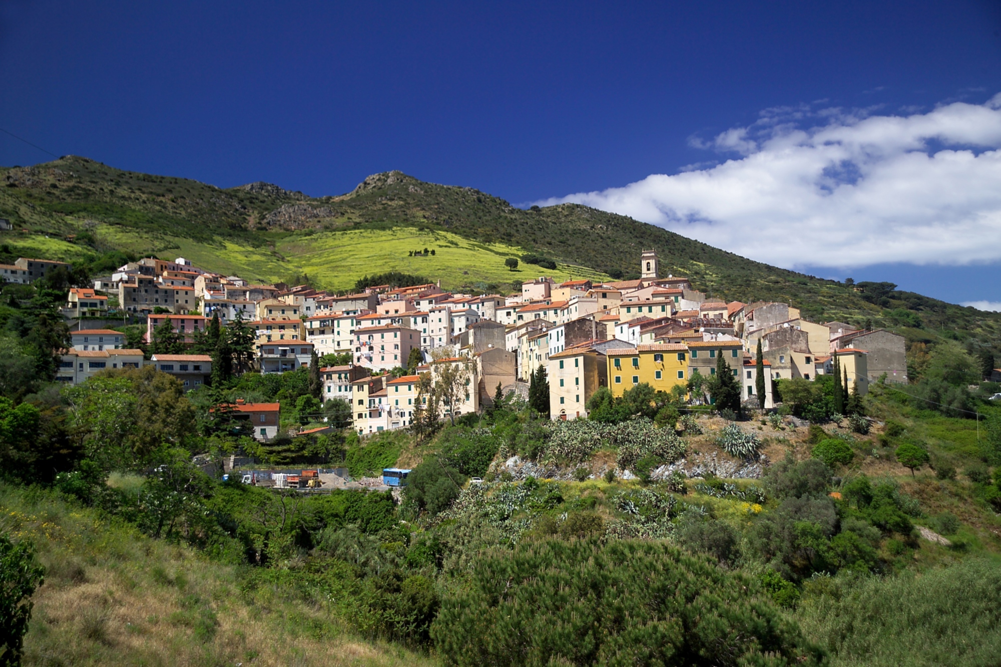
Shaded by holm-oak woods, the road continues until it reaches the surroundings of Torre del Giove, where it continues winding and slightly downhill to the San Pietro junction, on the outskirts of Rio nell'Elba.
Here the climb is more challenging, passing in the vicinity of the hermitage and botanical garden of Santa Caterina. After a series of hairpin bends, we reach the first crossing of the eastern ridge at Aia di Cacio.
The following descent opens with views of Portoferraio and the northwest coast of the island of Elba, with open views of the sea and the islands of Gorgona, Capraia and Corsica, while the descending hairpin bends lead back to the sea and to the coves of Nisportino and Nisporto.
From the beach of Nisporto, with the Falconaia road, we begin to climb in altitude again with a steep uphill stretch, to be done head down until the next descent. This descent, following the coast in a southerly direction, overlooks the steep crags above the beaches of Secche and Zupignano and arrives at the seaside hamlet of Bagnaia.
Leaving the Bagnaia beach behind, we follow provincial road 28 and the shores of the gulf of Portoferraio, arriving at the entrance to provincial road 32 of Volterraio. It takes its name from the castle of the same name, which towers over the hill overlooking the paved road. In four kilometers and with very challenging gradients we find ourselves climbing over the eastern ridge again at the altitude of 350 meters in the locality of le Panche.
Once the most difficult climb of the route is over, the steep descent begins that reaches the center of the village of Rio nell'Elba where, at the foot of the Church of San Giacomo and Quirico, we can quench our thirst at the “Fonte di Barabba”. Alternatively, we can find refreshments in one of the characteristic places in the square, before resuming provincial road 26 in the direction of Rio Marina and thus ending the loop.