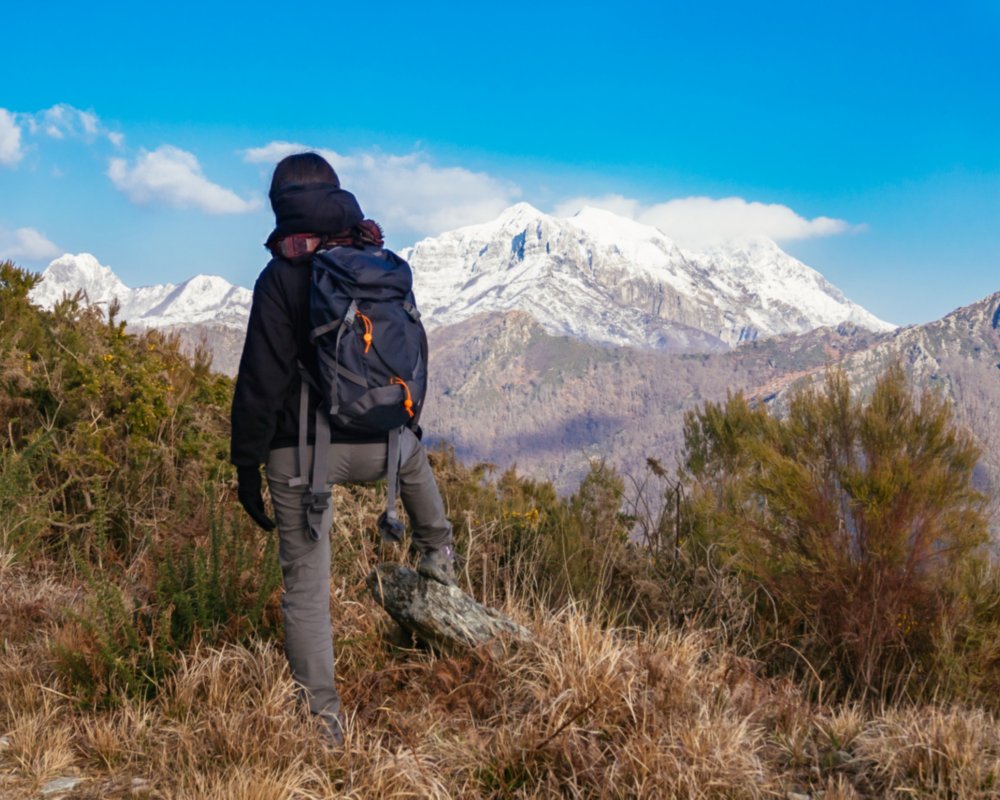

A challenging route to see the area’s natural beauties
Park your car and take the path that passes the rural area’s last houses, going around the South-eastern edge of the Roccandagia (1700 meters). This beautiful mountain overlooks the grassy Campocatino, basin thanks to a panoramic hike through the Valle di Arnetola and the spectacular stepped quarry of Monte Palmerina.
After a trek downhill, you’ll find a woodsy area which will lead to a spot characterized by marble blocks and a quarry, where you can help yourself along with metal cables. At this point, go westward along the path leading to Arnetola, by following the Colubraia Canal and a zigzag road to Passo della Tambura (1620 meters). Don’t miss the wonderful views you’ll find at the summit of Tambura!
On your way downhill, follow the northern crest on the opposite side, which you’ll abandon just before reaching the Focolaccia Pass—a setting that has been modified by the highest active quarry of the Apuane region. Continue downwards along the Carcaraia, which will bring you along the western wall of Roccadagia. At this point, continue diagonally; this segment is easier, though it is exposed and you’ll find metal cables installed for your protection.
The itinerary continues northward to the marble basin of the Fosso dell’Acqua Bianca, where you’ll enjoy a woodsy track that later leads to the Passo della Tombaccia (1350 meters). Once you’ve crossed the pass, you’ll find that the path goes downhill and reaches the woods located on the other side of the Campocatino basin. In just a few minutes, you’ll be able to find your original departure point.