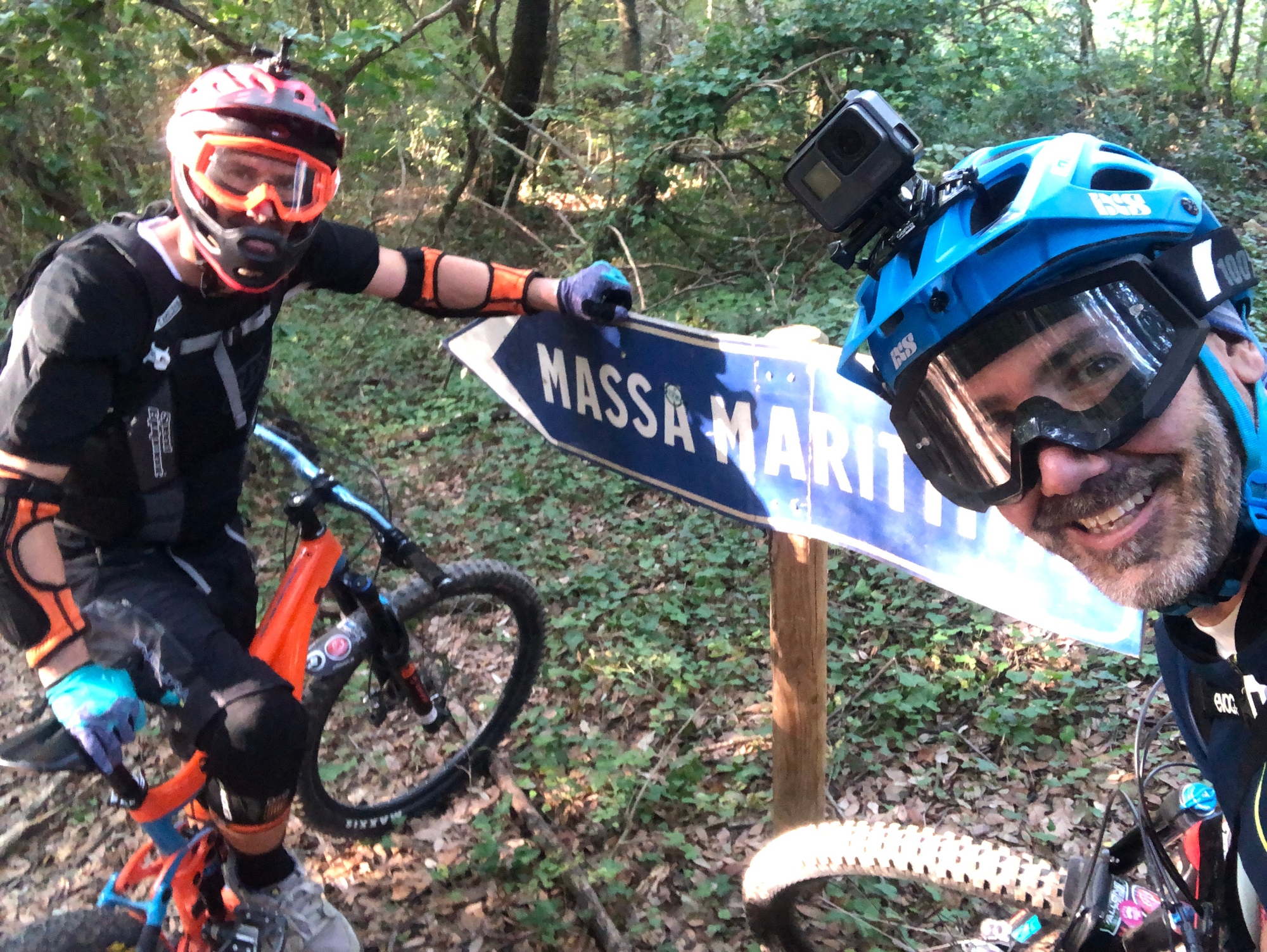
The hilly landscapes of the northern Maremma by bike


From an elevation point of view, this route has an undulating profile whose only real roughnesses are the hilly section near the Lago dell'Accesa and the final ascent into the town center of Massa Marittima. It is possible to decrease the height difference of the route by about 100 meters by starting from the gas station located at the foot of Massa Marittima on the road to Follonica. In this case, start by following the wide ring road in the direction of Siena for about 5 km to the junction for Massa: turn right toward the town center and, almost immediately, take the minor road onto the left toward Ghirlanda and Ribolla.
On the State Road 439 towards Larderello, you turn right in the direction of Ghirlanda and Ribolla; for about 6.5 km, the road remains at high altitude and then begins to descend more steeply for 3 km toward the old village-farm of Perolla that appears on the left. Continue onto the right following the sign for Gavorrano.
After exactly 1.1 km you meet a small road on the left highlighted by a yellow sign indicating Castel di Pietra. We recommend this short detour (3 + 3 km) to the castle: ride your bike for 2.3 km on a smooth dirt road lined with cypress trees, then, on the right, the 700 meter climb to the medieval fortress begins; leave your bikes at the beginning of the path and continue on foot. One you are back on your bike, continue to the crossroads following the sign for the Lago dell'Accesa.
There now begins a steady, uphill stretch easy to ride on your bike towards the locality of la Pesta: this is the ideal time for a refreshing stop. Finally, in the direction of Massa Marittima. From this moment on, you ride downhill reaching the road that starts at the foot of the Massa Marittima hill where the last uphill section awaits you until the square with the cathedral.