

Along the Apennine ridge, from Passo dei due Santi to Passo del Cerreto
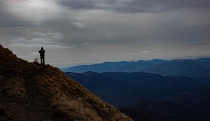
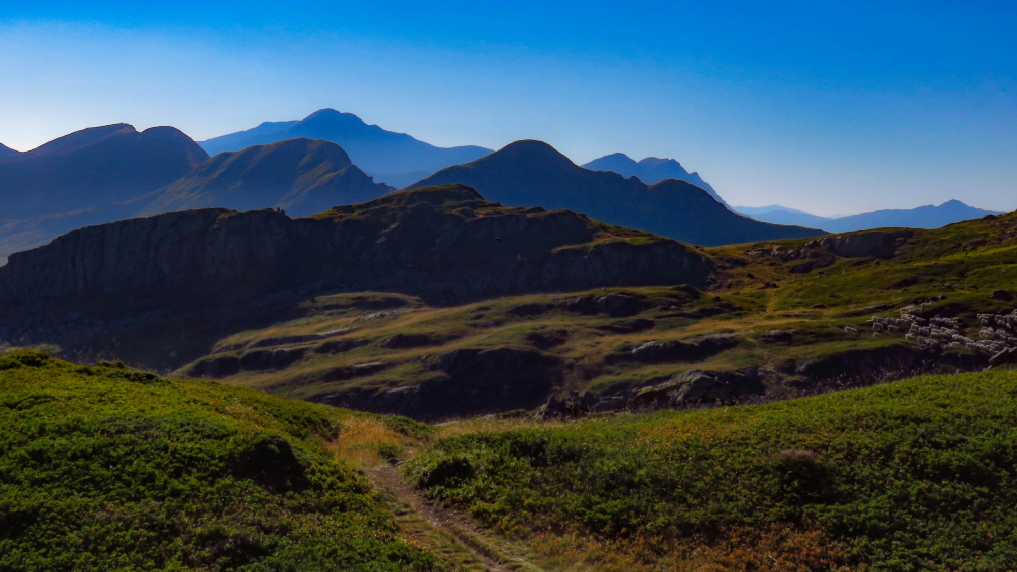
The Sentiero Italia (Grand Italian Trail) is a CAI (Club Alpino Italiano) hiking trail of over 7000 km connecting all the Italian regions. A path created in 1983 by a group of journalists and hikers, which has been maintained and promoted by the Italian Alpine Club since 1990 and has recently regained great acclaim thanks to new advertising campaigns. Along the Apennine ridge, Tuscany is almost entirely crossed by this path that, descending from the north, enters the Region through the Lunigiana territory and the Passo dei Due Santi, in the Municipality of Zeri. Monte Valoria, on the border between Pontremoli and Berceto (Parma), is the only point in Italy where it crosses the Via Francigena, a reminder of the historical importance of this crossing point. In a single glance, the view sweeps from the Alps to the Po Valley, along the Apennine chain and down to the Mediterranean Sea: when walking along the path that follows the crest of the Apennine ridge, the walker immediately understands that Lunigiana is a border land that connects central and northern Italy and links the sea to the hinterland. However, the view is not only in the distance. Walkers will find the towers of castles rising at their feet, where medieval villages lie and where torrents flow. A unique anthropic and natural landscape.
Alongside the valley trails that cross the entire Lunigiana area from north to south and from east to west, in particular the Via Francigena and the Via del Volto Santo, the Sentiero Italia is certainly one of the most interesting excursions for discovering this area.
In Lunigiana, the Sentiero Italia crosses the Tuscan-Emilian Apennines National Park and the Apuan Alps Regional Park and largely coincides with the Alta Via dei Parchi. For hikers who intend to walk along the path by organizing a multi-day itinerary, it is possible to stop off and stay overnight at the lodges inside the two Parks.
The legs of the Sentiero Italia in Lunigiana allow for a 5-day backpacking trip, with Italy at your feet, from the Alps to the Po Valley and the Ligurian and Tuscan coasts. An experience to be spent in company, walking slowly and discovering the natural and anthropic landscapes along the way, or to experience alone, savoring the beauty, the difficulties and the pleasures of the journey, from Passo dei Due Santi to Passo del Cerreto, along the Apennine ridge.
Starting from Zum Zeri, you can get to the ancient Borgallo pass, a historical junction point between Liguria, Val di Taro and Lunigiana, once crossed by princes, military leaders and pilgrims who wanted to reach the tomb of San Colombano in Bobbio. The route winds through the Brattello Forest, a big forest complex of pines, beeches, chestnut trees and Turkey oaks. From here, you can reach Monte Molinatico, ending up at Passo della Cisa, the gateway of the Via Francigena in Tuscany.
Technical Data: From Passo dei Due Santi (1417 m asl) / Passo della Cisa (1032 m asl) - SI L24 (Highlights: The Borgallo pass and the Brattello Forest) - 24.7 km - Elevation gain 607 m, Elevation loss 1001 m.
- straighten
Length24.7 km
-
DifficultyHiking Trail
- schedule
Duration1 day
- trending_down
Descent1001 m
- trending_up
Ascent607 m
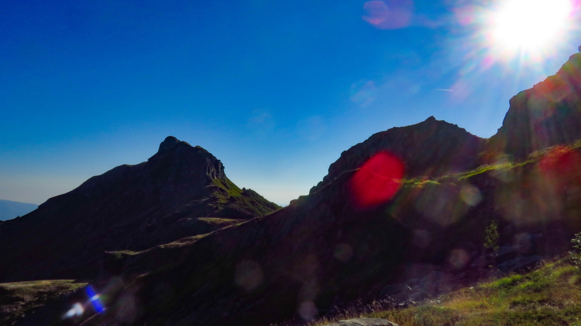
For the second stage, you set off from Passo della Cisa, the gateway of the Via Francigena in Tuscany, heading towards Monte Valoria, a site of recent archaeological analysis, where traces of Roman passages have been found. These mountain passes have been used since time immemorial, crossed by military leaders, merchants and pilgrims. One of the most famous is Sigeric, the Archbishop of Canterbury travelling from Rome to England, who recorded all the stages of his journey in a travel journal that today corresponds to the official route of the Via Francigena. On easy walking paths and alpine prairies along the Apennine ridge, you will come to Passo del Cirone and, from here the Monte Tavola Meadows and the Crossroads leading to Lago Santo Parmense and its lodge, one of the most delightful in the entire Apennine area.
Technical data: from Passo della Cisa (1032 m) to the Lago Santo Parmense Crossroads (1583 m asl) - SI L23 - (Highlights: The Sentiero Italia meets the Via Francigena) –16.1 km - Elevation gain 727 m, Elevation loss 181 m.
- straighten
Length16.1 km
-
DifficultyHiking Trail
- schedule
Duration1 day
- trending_down
Descent181
- trending_up
Ascent727
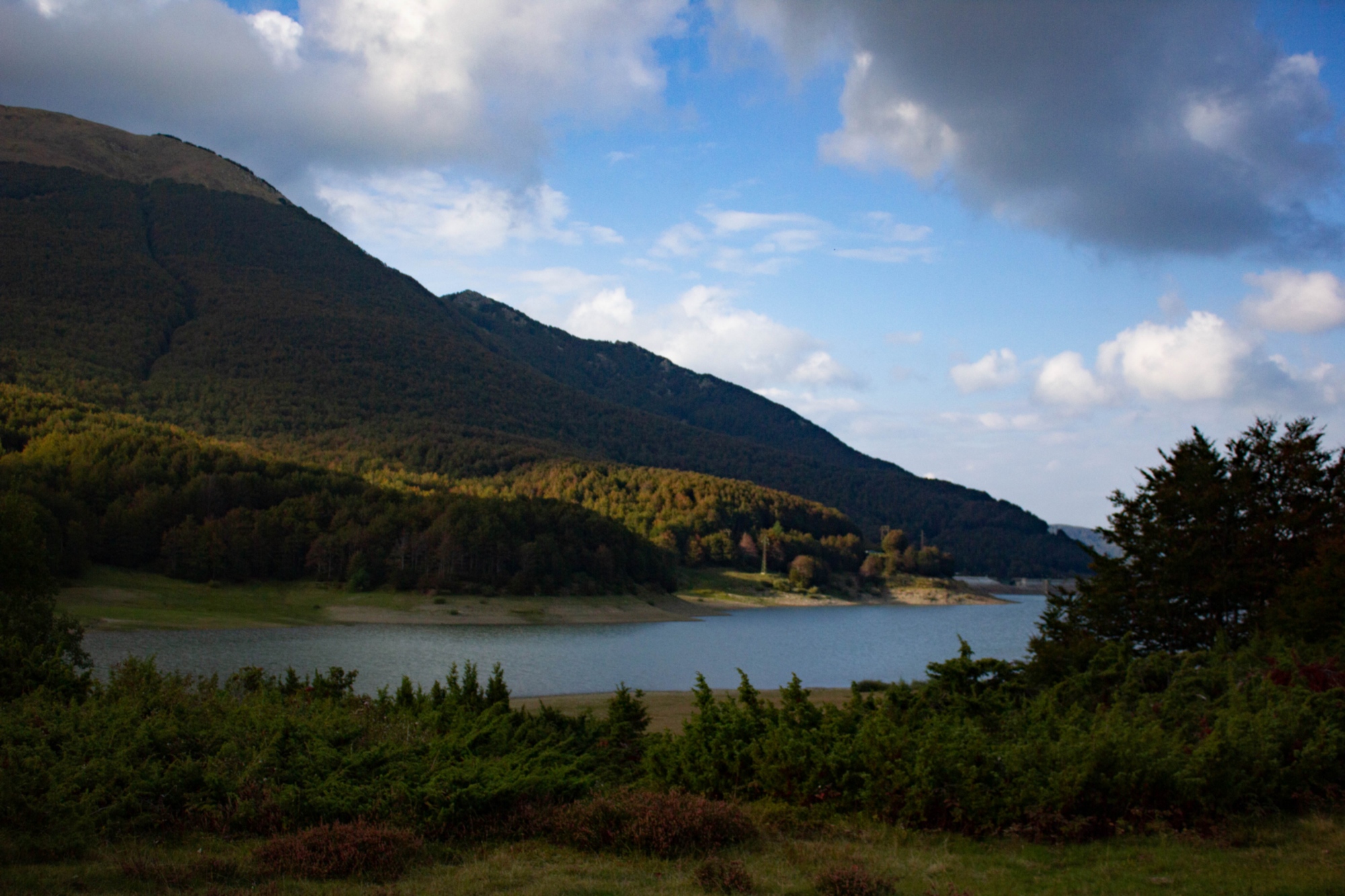
The trail continues, following the Apennine ridge, where horses still live in the wild, with prairies and pastures, beech and chestnut woods, blueberry and raspberry meadows, until it reaches the Rifugio Pratospilla. Along the entire stage, there are numerous possibilities for detours following the paths of the Apennine National Park that lead downstream, in Lunigiana, such as the Via Longobarda or the Via dei Linari.
Technical data: from the Lago Santo Parmense Crossroads (1583 m asl) to Pratospilla (1354 m asl) – SI L22 (Highlights: The Tuscan-Emilian National Park) - 13.2 km – Elevation gain 489 m, elevation loss 737 m.
- straighten
Length13.2 km
-
DifficultyHiking Trail
- schedule
Duration1 day
- trending_down
Descent737
- trending_up
Ascent489
Short stage that, if need be, can be linked to the following one. After leaving the lakes of the Apennine ridge behind, like Lago Verde, Lago Ballano, Laghi del Sillara and Lago Martini, in the heart of the regional park of the hundred lakes, and setting off again from Pratospilla, you will come to the beech forest and Lago Acuto with the beautiful Rifugio Città di Sarzana, below the Monte Acuto pass.
Technical data: from Prato Spilla (1354 m asl) to the Rifugio Città di Sarzana (1609 m asl) - SI L21 (Highlights: Pastures and forests) 7.5 km - Elevation gain 558 m, elevation loss 305 m.
- straighten
Length7.5 km
-
DifficultyHiking Trail
- schedule
DurationHalf-day
- trending_down
Descent305
- trending_up
Ascent558
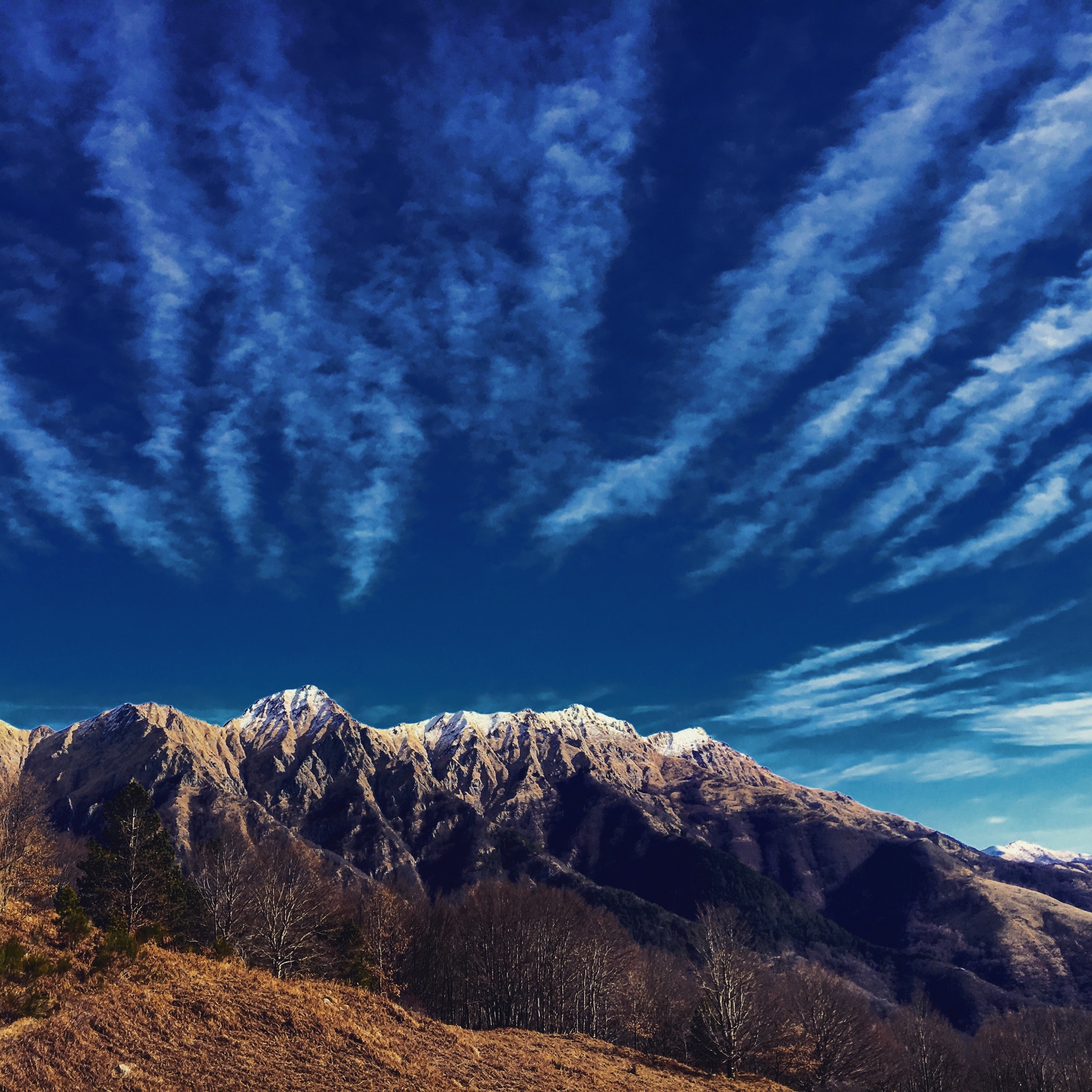
From the Rifugio Città di Sarzana, you set off in the direction of the ridge and then descend again towards the glacial basin of the Ghiaccioni and the sources of the Secchia river. After crossing forests and encountering frequent traces of animals, you arrive at Passo del Cerreto, defined as the Euro-Mediterranean border, the meeting point of numerous cultures and climates, where there is already a view of the Apuan Alps and the sea.
Technical data: from the Rifugio Città di Sarzana (1609 m asl) to Passo del Cerreto (1245 m asl) - SI L20 (Highlights: between the Apennines and the Apuan Alps) - 8.1 km - Elevation gain 314 m, elevation loss 645 m.
- straighten
Length8.1 km
-
DifficultyHiking Trail
- schedule
Duration1 day
- trending_down
Descent645
- trending_up
Ascent314