The Tufa Area by bicycle
An itinerary of great scenic interest that requires the whole day in view of the recommended stops in the towns of Sorano, Pitigliano and Sovana. Cyclistically, the route requires a good preparation for the mileage and the very varied elevation profile characterized by continuous changes in gradient with a maximum elevation gain of 1420 m; the climbs are not particularly steep and, especially in the second part, require a prolonged commitment. The road type is mostly asphalt.
From the square of Santa Fiora, we ride toward the bridge and, immediately after, we turn right following the signs for Selvena - Sorano on the Provincial Road 4. The road proceeds evidently downhill for about 4 km to a bridge where we climb again following the main road to Selva (8.5) where a stretch of slight ups and downs begins. After 5.5 km from Selva, we reach a crossroads where we turn right downhill toward Selvena (16) and continue mostly downhill (except for a stretch of about 800 m after Selvena) following the Provincial Road 34 to Elmo where we continue downhill toward the Lente River valley always following the signs for Sorano.
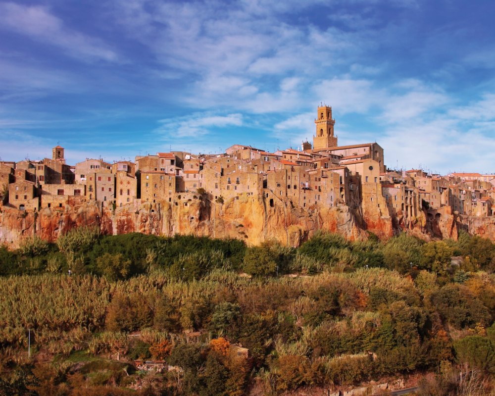
The descent ends 2.5 km after Elmo and after a short climb we reach a T-junction where we turn left toward Sorano on the Provincial Road 22. Here begins a very spectacular stretch of road literally carved into the tufa. The hairpin bends that plunge toward Sorano are the gateway to the magical tufa towns. Once we cross the bridge over the Lente we climb for 1 km toward Sorano (35). From the square with the parking lot we reach a crossroads where we follow the signs (to the right) for Pitigliano; a short uphill stretch and then again on the very smooth Provincial Road 4 on a slight incline to the beautiful town (44) that seems to rise from an imposing tuff outcrop. Once we arrive near a crossroads under a large tuff bridge we can deviate to the right to enter the village, which is certainly worth a visit.
The itinerary continues by taking the road downhill (towards Albinia) and after about 200 m a beautiful view of the town appears on the right. We continue downhill following the winding downhill road for about 700 m until we reach an obvious hairpin bend to the left where, turning right, we take the Provincial Road 46 of "Pian della Madonna" toward Sovana. We ride for 1 km to the bridge over the Lente River where a cycle ascent begins for about 3 km to a T-junction where we turn left downhill on the Provincial Road 22 to Sovana (52). The town and its Etruscan necropolis are definitely worth a stop. From Sovana we continue in the direction of San Martino sul Fiora passing first by the bridge over the Lente River and then the bridge over the Fiora River (56,5).
Shortly thereafter begins the ascent of about 4 km (average gradient of 5-6 %) toward San Martino and the slopes of Monte Amiata. From San Martino sul Fiora (63) we proceed first on a slight slope, then slightly uphill for 4 km to Catabbio where we reach a T-junction: on the left we can make a detour to Saturnia, which is 9 km from here, and the renowned thermal baths while the itinerary continues on the right along the Provincial Road 10 towards Semproniano (74.5), which we reach after about 5.5 km without roughness. Here turn right and shortly after left following the signs for Monte Amiata, Arcidosso and Roccalbegna; a short valley stretch follows, then a slight slope that announces the 2 km climb (6% average gradient) to reach the hamlet of Petricci (80).
After the Petricci pass, we ride without difficulty to Triana (85) where we turn right onto the Provincial Road 160 towards Arcidosso: the road gains elevation with some hairpin bends for about 2.3 km, thus climbing the upper Fiora valley. From the pass the road proceeds quickly to the crossroads at Aiole (95.5) where we turn right downhill on the Provincial Road 6 toward Santa Fiora (100).


