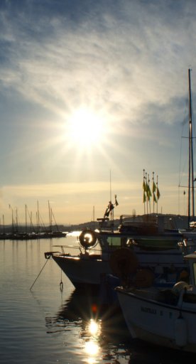
This is a journey in stages that lasts 2/3 days, allowing you to discover the Grosseto coast, the Metalliferous Hills, the Tufo Area, the Amiata, the Manciano hills and the Silver Coast. The fascinating and varied ring route of about 360 km crosses the Maremma countryside, winds along remote roads, and leads you to charming medieval villages, as well as taking in seaside resorts.
The itinerary is suitable for all types of travel: cyclists travelling alone, those who prefer to make longer journeys by car with bikes in tow, lovers of gravel, road or e-bikes. The latter type of bicycle is becoming more and more popular among cycling tourism enthusiasts, after mountain biking. The numerous towns along the route offer the necessary points for recharging batteries.
Length: 352 km
Altitude: 5500 mt
Type of surface: asphalt
Percentage of dirt road: 0%
Recommended bike: racing, gravel, e-bike
Given that it's a circular route, you can start from any point. For convenience, we recommending starting from the railway station in Grosseto. From there, you proceed towards the coast following the signs for Marina di Grosseto. At the end of the Marina cycle path (10 km), continue towards Castiglione della Pescaia along the SP 158 Collacchie. Once you have passed the San Rocco canal on the left, we take the cycle path that arrives in Castiglione della Pescaia (20 km). After crossing the bridge, the itinerary continues to the right towards Siena taking the SP 3. Continue along this road for 1.1 km until you reach the crossroads at the Castiglione della Pescaia exit and turn left, following the 'Gran Tour' signs that dislay 'GRILLI'. Follow the signs and the GPS track, now pedaling on the beautiful Strada Comunale delle Strette until you cross the SP 23 in Ampio. Upon reaching the hamlet of Grilli (km 38), continue on the right on the S.P. 152, reaching the large roundabout at km 41.30, where you take the third exit towards Giuncarico and Ribolla which is the S.P. 27 "Lupo", passing under the bridges of the railway and the S.S. 1 Aurelia up to km 45 where the track points to the S.P. 20 in the direction of Ribolla which we will reach at km 47. Once in Ribolla, we recommend that you take some time to visit the Technological and Archaeological Park of the Metalliferous Hills, to understand the history of this important mining center which was vibrant until the 1950s.
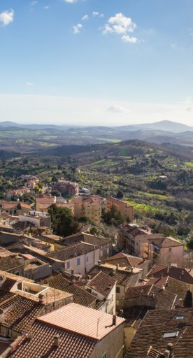
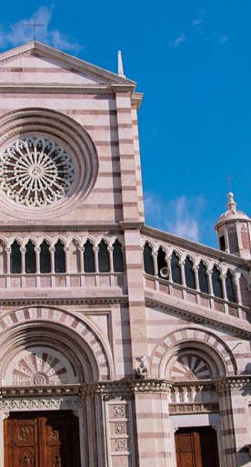
Let's get back on the bikes and continue towards the north west, following signs for La Pesta on the S.P. 31 "Collacchia", which we follow up to km 60.5 and then turn right onto the S.P. 49 “Accesa” towards Massa Marittima. At km 65, we reach La Pesta and the Accesa Lake, where you can take a nice refreshing dip if you feel like it. The itinerary continues to the small mining village of Fenice Capanne, which developed from the early-mid nineteenth century. Continue uphill with a gradient between 7 and 9%, until you reach the top of the hill at km 77 which is the highest point of one of the best Italian urban landscapes: Massa Marittima, deserving of a thorough visit. Since we are just passing through, we could select just the beautiful Piazza Garibaldi, a kind of open-air theater that's bordered by the most important historical buildings of the city: the majestic Cathedral of San Cerbone, Palazzo del Podestà (seat of the Archaeological Museum), Palazzina dei Conti di Biserno, Palazzo dei Priori, the loggia of Palazzo Malfatti and the Palazzo delle Fonti dell'Abbondanza. From Massa Marittima, take the S.P. 162 towards Siena. After passing the hamlet of Ghirlanda in Pian di Mucini, continue to the right and cycle uphill for about 6 km and then descend towards the bridge that passes near the village of Prata, visible on the left. After about 2 km, turn right onto the S.P. 54 “Cerro Balestro” towards Tatti, first pedaling uphill, then downhill to the village which is reached after about 8 km. When you reach the centuries-old castle of Tatti, the track bends to the left towards Sassofortino-Roccatederighi. After 5 km, turn left onto the S.P. 8 "Meleta" following signs for Roccastrada. After about 2 km, you reach Roccatederighi, pass Sassofortino (km 110) and ride on the S.P. 8 for about 3 km, reaching Roccastrada. Continue downhill on the S.P. 157 for about 5 km up to an obvious curve to the right where you take the S.P. 46 “Tollero” following the GT signs indicating Paganico.
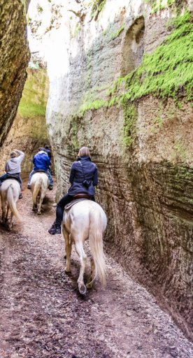
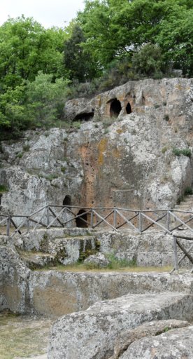
From Paganico (km 130), continue on the road that runs alongside the Grosseto-Fano highway towards Grosseto until the Campagnatico junction, where you continue uphill until you reach the town center. From here, take the S.P. 18 downhill towards the Ombrone Valley, which you cross in Pianetti following the signs for Cinigiano. Cycle for 4.3 km on the flat terrain of Granaione, until where the climb to the heights of Monte Amiata begins. After 11 km, continue on the right towards Cinigiano-Arcidosso and after 800 meters you will arrive in Cinigiano (km 168). The path towards Monte Amiata continues in a constant ascent towards Monticello Amiata (Km 178) on the S.P. 7 "Cinigianese" and Arcidosso (188). We then follow signs for Santa Fiora, a thirteenth-century village that was the capital of a vast and rich land that was the fulcrum of the Ghibelline resistance to the government of Siena. This earned it a quote by the Supreme Poet in the sixth canto of Purgatory: and then you shall see how dark is Santafior. Continue towards Selvena. Shortly after the town (205 km), you reach an altitude of 830 meters above sea level, the highest point of the entire trip. Following this, the descent from Amiata begins. After passing Selvena, continue towards Elmo and Sorano. We then continue towards San Quirico, but we recommend a small detour to visit Vitozza, a fascinating rocky settlement. Now ride along the S.P. 12 in the direction of Pitigliano. After 1.8 km, you will reach an intersection in La Rotta (236): continue straight (crossing the S.R. 74) towards Manciano. Continue following the S.P. 127 "Pantano" for about ten km. At the intersection, turn right towards Pitigliano and you will reach Madonna delle Grazie, where you will be charmed by the amazing panorama that opens onto Pitigliano. You then reach Pitigliano, about 2 km away (1.2 km downhill and 800 m uphill). The itinerary continues in the direction of Manciano, which can be reached after about 18 km, the last 4 km of which is uphill. (Km 262).
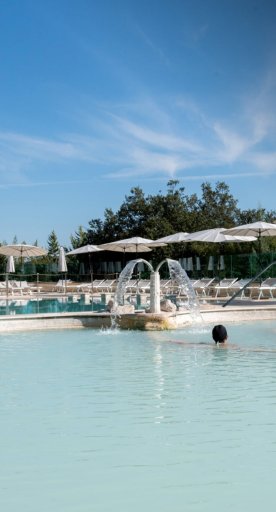
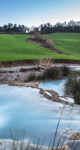
From Manciano, we continue following the signs for Scansano on the S.P. 159. After 6.5 km, you reach Montemerano (7 km from the thermal area of Saturnia), continuing downhill to the bridge over the Albegna. Shortly after, you pass through Pomonte. After about 2 km, turn left onto the S.P. 146 "Aquilaia", a beautiful road that descends towards the plain to a T-junction, where you follow the sign for Magliano in Toscana. Continue along the light and easily-pedalled climb for 7.8 km until you reach the S.P. 160 where you turn right again for Magliano and continue on the S.P. 160, following the signs for Scansano which we reach after passing through the village of Pereta. From the center of Scansano, proceed uphill (towards Montiano) and cross the hill after 1.5 km near the antennae and the sports field, pedalling on the S.P. 159. Shortly after, you leave the "Scansanese", leaving in the direction of Grosseto by turning left onto the S.P. 9 “Aione” towards Montiano (km 320) and then continuing to the right towards Grosseto. You easily you reach the plain, passing the S.S. 1 "Variante Aurelia", and taking the S.P. 54 "Spadino" and entering the urban area after the bridge over the Ombrone. Once you have entered the city (km 350), follow the signs for the railway station, your arrival point that marks the end of the itinerary.