
Photo © Stefano Cannas
Photo © Stefano Cannas
The power of art and the vitality of culture in Florence, stretching back to Antiquity, have an energy that expands all throughout Tuscany. There’s an area in particular that shows signs of that flourishing city and it’s the Florentine area, a territory that’s home to wonderful Medici Villas – designated UNESCO World Heritage Sites – unique castles, abbeys, enchanted forests, charming hills and priceless museums. It’s not a coincidence that the Renaissance ring passes through this area, a circle around Florence that touches various towns and which can be explored on foot or by bike, passing through art-filled landscapes.
The capital of Tuscany is famous for being a treasure chest of priceless heritage, but it’s much more than just majestic Renaissance artworks: it’s also the many museums, gardens, small piazzas, contemporary art exhibitions and numerous festivals that liven up the city throughout the year. The Uffizi or the Opera del Duomo Museum are some of the most beautiful experiences you can have if you love art, while a stroll through the Boboli Gardens is a continuous discovery, curated with fountains, sculptures and tree-lined pathways.
Following these traces of history, the Renaissance ring also takes you to Vaglia and the Pratolino Medici Park (one of the most beautiful English-style gardens in Tuscany), as well as Lastra a Signa, where you can find Villa Bellosguardo and its museum dedicated to Enrico Caruso. Visit Figline e Incisa, an area that has long fascinated artists and poets, or stop by Calenzano and Pontassieve.
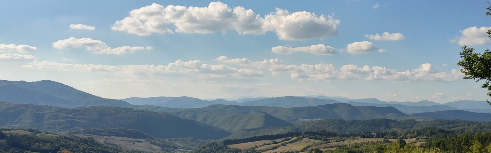
This territory is also characterized by spectacular nature, bestowed with the exceptional gift of being able to live in complete harmony with the work of men. A popular destination among Florentines searching for some cool air during the summer – not to mention a place for those who love peace and quiet – is definitely the Vallombrosa Forest. Its centuries-old trees lead visitors to the elegant abbey, reachable following a pleasant walk through the woods. It’s also worth visiting the hilly landscape around Rufina, home to endless vineyards; the hills of Fiesole, which, just above Florence, conserves a magnificent Roman amphitheatre, or Londa, with its lake hidden in the woods.
Skilled artisans craft terracotta treasures in Impruneta and elegant straw hats in Signa. Florentine craftsmanship is famous world-round: here, leather, gold and wood are all shaped with thrilling perfection.
Download the brochure All around Florence.


 in Florence")

